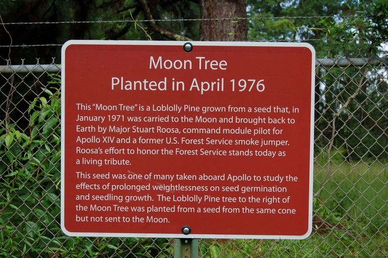
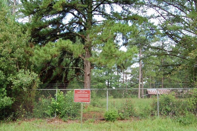
Moon Tree
Planted in April 1976
This "Moon Tree” is a Loblolly Pine grown from a seed that, in January 1971 was carried to the Moon and brought back to Earth by Major Stuart Roosa, command module pilot for Apollo XIV and a former U.S. Forest Service smoke jumper. Roosa's effort to honor the Forest Service stands today as living tribute.
This seed was one of many taken aboard Apollo to study the
effects of prolonged weightlessness on seed germination
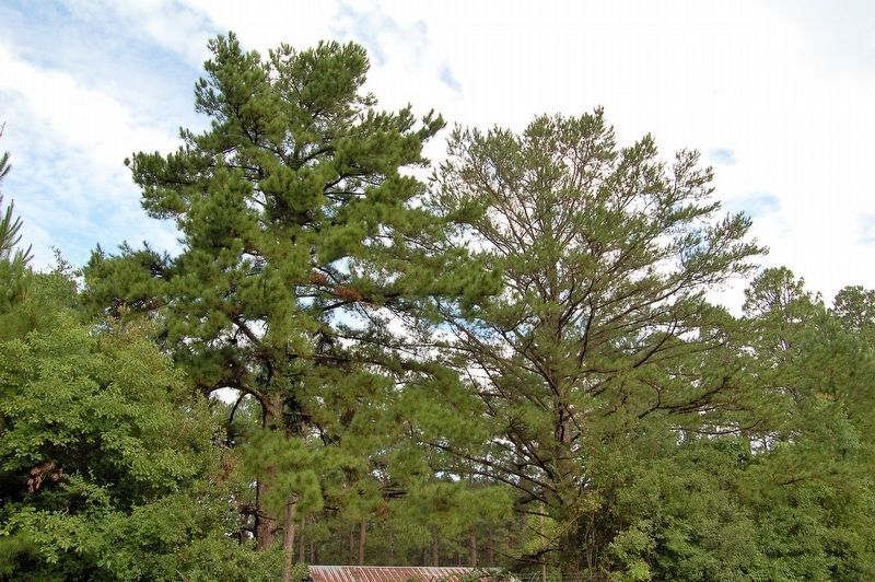
and seedling growth. The Loblolly Pine tree to the right of
the Moon Tree was planted from a seed from the same cone
but not sent to the Moon.
Topics and series. This historical marker is listed in these topic lists: Air & Space • Horticulture & Forestry. In addition, it is included in the Historic Trees series list. A significant historical month for this entry is January 1971.
Location. 31° 10.719′ N, 92° 40.623′ W. Marker is in Elmer, Louisiana, in Rapides Parish. Marker is on Turnage Road south of Twin Bridges Road (State Highway 488), on the right when traveling south. Touch for map. Marker is in this post office area: Elmer LA 71424, United States of America. Touch for directions.
Other nearby markers. At least 8 other markers are within 12 miles of this marker, measured as the crow flies. Camp Packard - Company 1446 (approx. 4.6 miles away); Camp Claiborne (approx. 10.9 miles away); Training At Camp Claiborne / Life At Camp Claiborne
More about this marker. Located at the Palustris Experimental Station (Southern Research Station) in the Kisatche National Forest.
Credits. This page was last revised on June 9, 2022. It was originally submitted on June 29, 2019, by Cajun Scrambler of Assumption, Louisiana. This page has been viewed 629 times since then and 148 times this year. Photos: 1, 2. submitted on June 29, 2019, by Cajun Scrambler of Assumption, Louisiana. 3, 4. submitted on June 29, 2019.


