Lubbock in Lubbock County, Texas — The American South (West South Central)
Matador Half – Dugout
1888
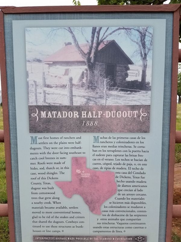
Photographed by Denise Boose, May 31, 2019
1. Matador Half – Dugout Marker
Erected by The Diamond M Foundation and National Ranching Heritage Center.
Topics. This historical marker is listed in these topic lists: Architecture • Settlements & Settlers.
Location. 33° 35.404′ N, 101° 52.935′ W. Marker is in Lubbock, Texas, in Lubbock County. It can be reached from 4th Street. Located within the National Ranching Heritage Center Park. Touch for map. Marker is at or near this postal address: 3121 4th St, Lubbock TX 79409, United States of America. Touch for directions.

Regionally, this
this page online
Other nearby markers. At least 8 other markers are within walking distance of this marker: Wild Cow Corral (within shouting distance of this marker); Jowell Cemetery (within shouting distance of this marker); Waggoner Ranch Commissary (within shouting distance of this marker); Old Mail Camp (within shouting distance of this marker); Old Block Drift Fence (within shouting distance of this marker); Jowell House (within shouting distance of this marker); Harrell House (about 300 feet away, measured in a direct line); Typical Homesteader Cabin (about 300 feet away). Touch for a list and map of all markers in Lubbock.
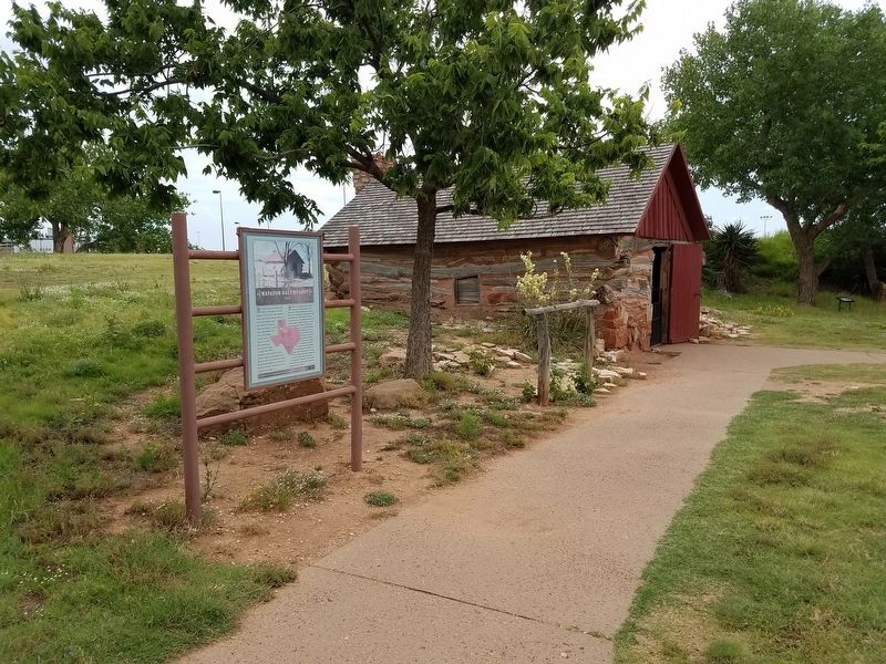
Photographed by Denise Boose, May 31, 2019
2. Matador Half – Dugout Marker
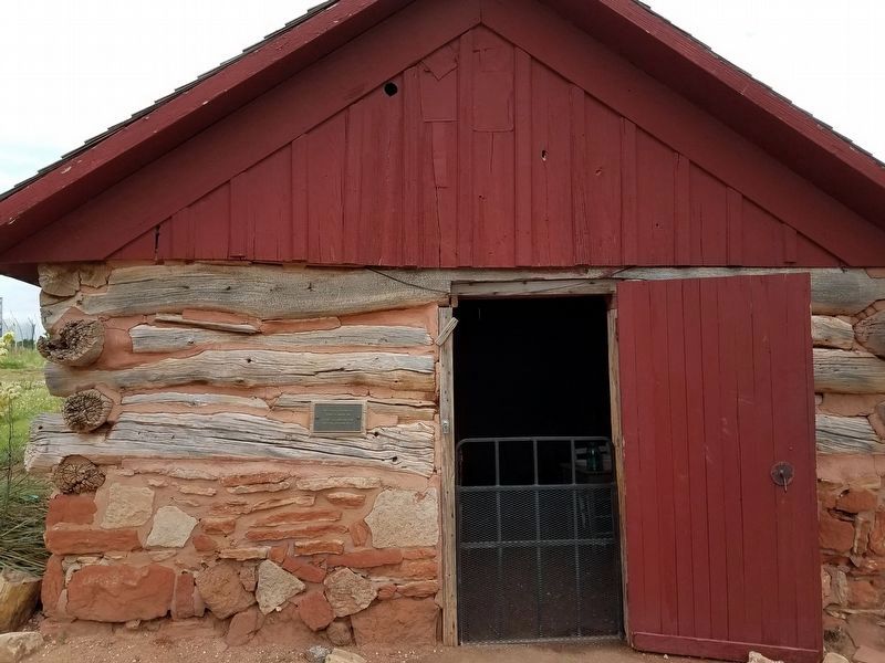
Photographed by Denise Boose, May 31, 2019
3. Matador Half – Dugout
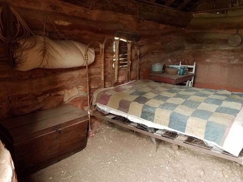
Photographed by Denise Boose, May 31, 2019
4. Matador Half – Dugout Interior
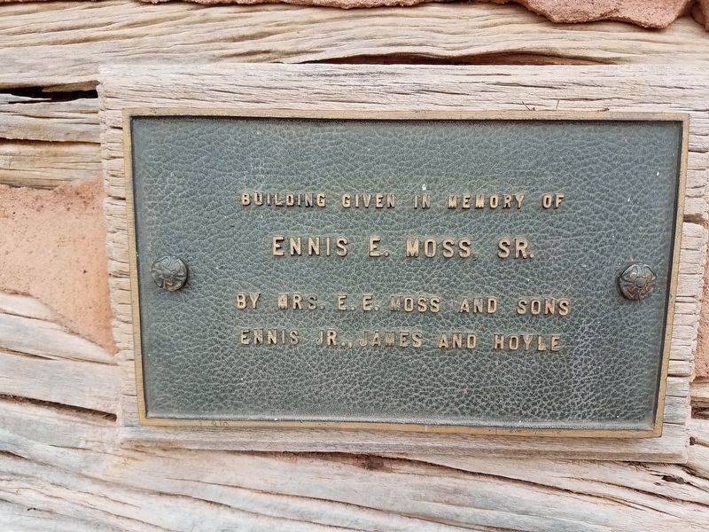
Photographed by Denise Boose, May 31, 2019
5. Matador Half – Dugout Memorial Plaque
Buiding given in memory or Ennis E. Moss SR.
By Mrs. E.E. Moss and sons
Ennis Jr., James and Hoyle
Credits. This page was last revised on July 3, 2019. It was originally submitted on June 30, 2019, by Denise Boose of Tehachapi, California. This page has been viewed 757 times since then and 43 times this year. Photos: 1, 2, 3, 4, 5. submitted on June 30, 2019, by Denise Boose of Tehachapi, California. • Andrew Ruppenstein was the editor who published this page.
