Ghent in Carroll County, Kentucky — The American South (East South Central)
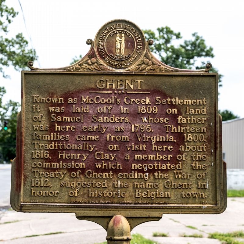
Ghent
Erected 1966 by Kentucky Historical Society and Kentucky Department of Highways. (Marker Number 911.)
Topics and series. This historical marker is listed in these topic lists: Political Subdivisions • Settlements & Settlers. In addition, it is included in the Kentucky Historical Society series list. A significant historical year for this entry is 1809.
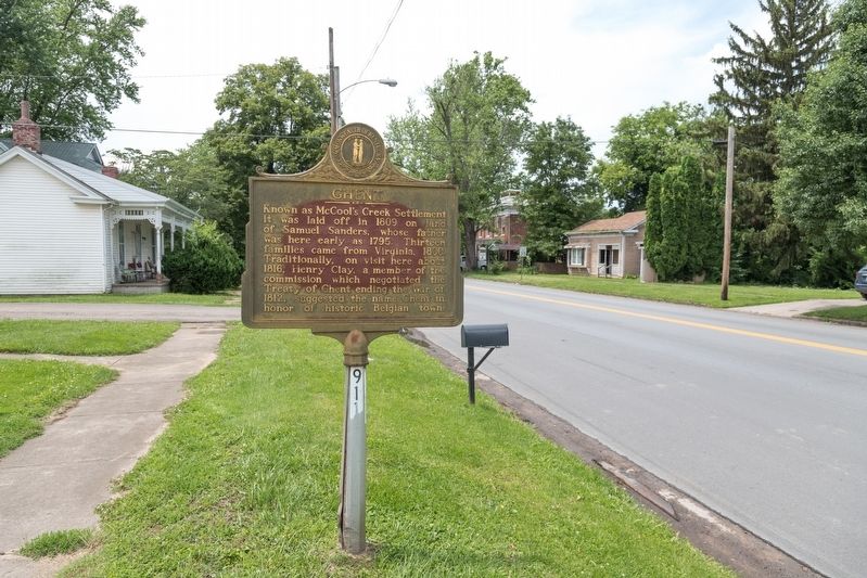
Location. 38° 44.284′ N, 85° 3.617′ W. Marker is in Ghent, Kentucky, in Carroll County. Marker is on Main Street (U.S. 42) south of Main Cross Street (Kentucky Route 47), on the left when traveling south. Touch for map. Marker is at or near this postal address: 510 Main St, Ghent KY 41045, United States of America. Touch for directions.
Other nearby markers. At least 8 other markers are within walking distance of this marker. James Tandy Ellis (within shouting distance of this marker); Switzerland Wine County – Winemaking in Vevay (approx. 0.6 miles away in Indiana); U.P. Schenck House - 1844 (approx. 0.7 miles away in Indiana); Porter House (approx. 0.7 miles away in Indiana); Stevens House (approx. 0.7 miles away in Indiana); Armstrong Tavern (approx. 0.7 miles away in Indiana); Armstrong Tavern - 1816 (approx. 0.7 miles away in Indiana); a different marker also named Stevens House (approx. 0.7 miles away in Indiana).
Credits. This page was last revised on July 2, 2019. It was originally submitted on July 2, 2019, by J. J. Prats of Powell, Ohio. This page has been viewed 281 times since then and 53 times this year. Photos: 1, 2. submitted on July 2, 2019, by J. J. Prats of Powell, Ohio.

