Carrollton in Carroll County, Kentucky — The American South (East South Central)
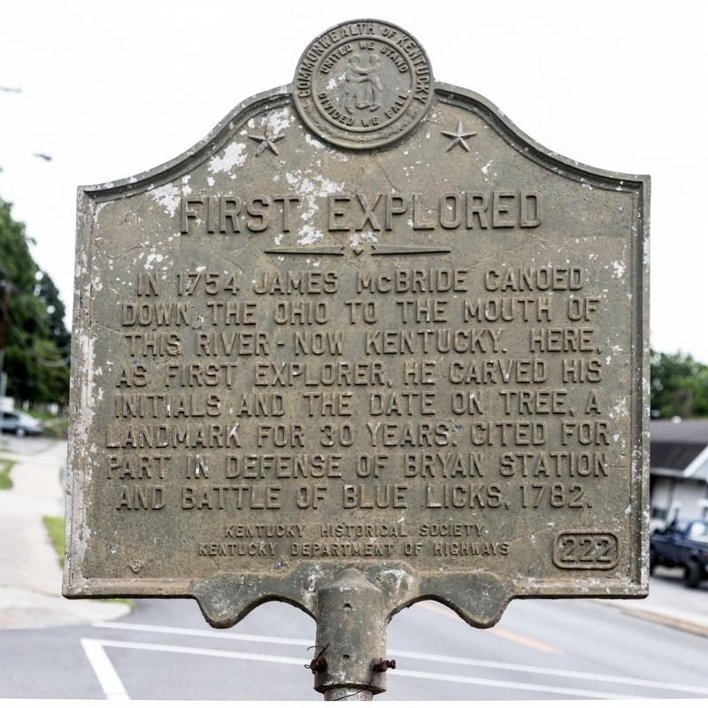
First Explored
Erected 1964 by Kentucky Historical Society and Kentucky Department of Highways. (Marker Number 222.)
Topics and series. This historical marker is listed in these topic lists: Exploration • Settlements & Settlers • War, US Revolutionary. In addition, it is included in the Kentucky Historical Society series list. A significant historical year for this entry is 1754.
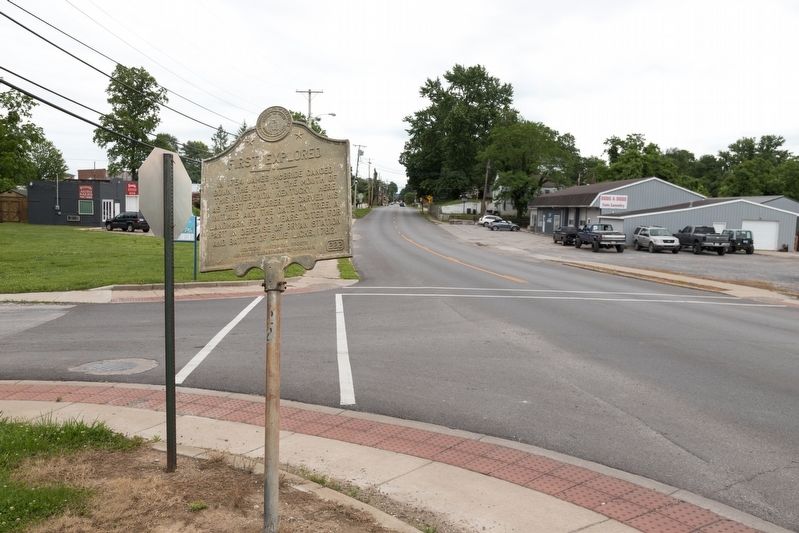
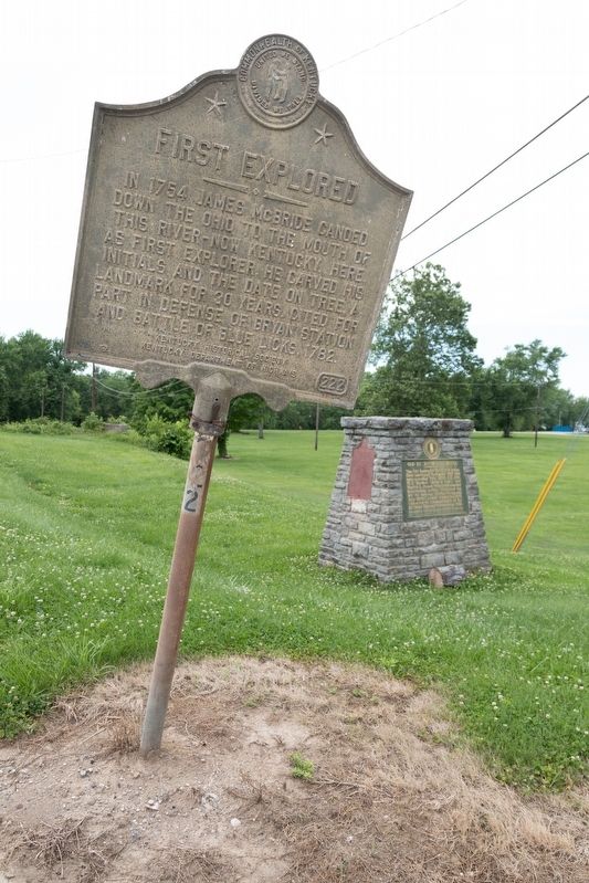
Location. 38° 40.843′ N, 85° 11.111′ W. Marker is in Carrollton, Kentucky, in Carroll County. Marker is at the intersection of Highland Avenue (U.S. 42) and 2nd Street, on the right when traveling west on Highland Avenue. It is on the northwest corner, on the approach to the bridge. Touch for map. Marker is in this post office area: Carrollton KY 41008, United States of America. Touch for directions.
Other nearby markers. At least 8 other markers are within 2 miles of this marker, measured as the crow flies. Old Ky. River Toll Bridge (here, next to this marker); Scott's Blockhouse (about 600 feet away, measured in a direct line); Korea & Vietnam - - War Memorial of Carroll County Kentucky (approx. ¼ mile away); World War I & World War II Memorial (approx. ¼ mile away); Home of Gen. Butler (approx. 0.3 miles away); Col. Percival Pierce Butler (approx. 1.3 miles away); General William Orlando Butler (approx. 1.3 miles away); Carrollton (approx. 1.4 miles away). Touch for a list and map of all markers in Carrollton.
Credits. This page was last revised on October 21, 2020. It was originally submitted on July 2, 2019, by J. J. Prats of Powell, Ohio. This page has been viewed 274 times since then and 36 times this year. Photos: 1, 2, 3. submitted on July 3, 2019, by J. J. Prats of Powell, Ohio.


