St. Johns in Apache County, Arizona — The American Mountains (Southwest)
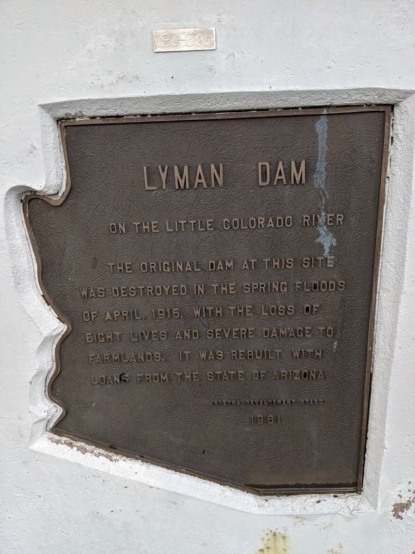
Lyman Dam
On The Colorado River
Erected 1961 by Arizona Development Board.
Topics. This historical marker is listed in this topic list: Disasters. A significant historical month for this entry is April 1915.
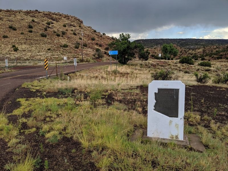
Location. 34° 21.704′ N, 109° 23.139′ W. Marker is in St. Johns, Arizona, in Apache County. Marker is at the intersection of U.S. 191 and Arizona Route 81, on the right when traveling north on U.S. 191. Located at entrance to Lyman Lake State Park. Touch for map. Marker is in this post office area: Saint Johns AZ 85936, United States of America. Touch for directions.
Other nearby markers. At least 1 other marker is within 11 miles of this marker, measured as the crow flies. Pioneer Public Buildings (approx. 10.1 miles away).
Credits. This page was last revised on March 20, 2020. It was originally submitted on July 6, 2019, by Mike Wintermantel of Pittsburgh, Pennsylvania. This page has been viewed 411 times since then and 61 times this year. Photos: 1, 2. submitted on July 6, 2019, by Mike Wintermantel of Pittsburgh, Pennsylvania.

