Central Business District in Lynchburg, Virginia — The American South (Mid-Atlantic)
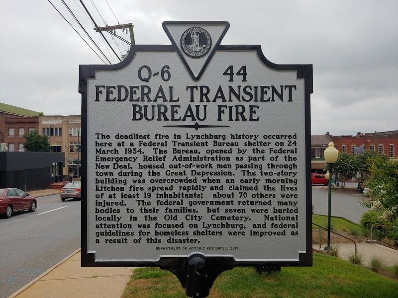
Federal Transient Bureau Fire
Photographed by Michael C. Wilcox, July 5, 2019
1. Federal Transient Bureau Fire Marker
Erected 2017 by Virginia Department of Historic Resources. (Marker Number Q-6-44.)
Topics and series. This historical marker is listed in this topic list: Disasters. In addition, it is included in the Virginia Department of Historic Resources (DHR) series list. A significant historical date for this entry is March 24, 1934.
Location. 37° 24.719′ N, 79° 8.438′ W. Marker is in Lynchburg, Virginia. It is in the Central Business District. It is at
this page online

Regionally, this marker is in Central Virginia. It is also in the American South and specifically in the Upper South. Globally, it is in North America, the Western Hemisphere, the Western World, and the Anglosphere. Historically, it finds itself in what was once the territory of the Mississippian Culture, one of the original Thirteen Colonies, one of the Confederate States of America, and the Antebellum South.
Other nearby markers. At least 8 other markers are within walking distance of this marker: Water Bearer (about 700 feet away, measured in a direct line); Lynchburg History (about 800 feet away); Lucile Barrow Turner (approx. 0.2 miles away); Diamond Hill (approx. 0.2 miles away); Cary DeVall Langhorne (1837-1948) (approx. 0.2 miles away); Lucado House (1902) (approx. 0.2 miles away); Lucy Harrison Miller Baber (1908-1996) (approx. 0.2 miles away); Samuel F. Kelso (approx. 0.2
Photographed by Michael C. Wilcox, July 5, 2019
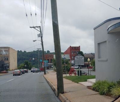
2. Federal Transient Bureau Fire Marker
Photographed by Michael C. Wilcox, July 5, 2019
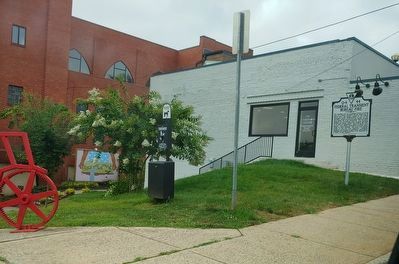
3. Federal Transient Bureau Fire Marker
Credits. This page was last revised on February 1, 2023. It was originally submitted on July 7, 2019, by Michael C. Wilcox of Winston-Salem, North Carolina. This page has been viewed 691 times since then and 50 times this year. Photos: 1, 2, 3. submitted on July 7, 2019, by Michael C. Wilcox of Winston-Salem, North Carolina.
