Near Dover in Mason County, Kentucky — The American South (East South Central)
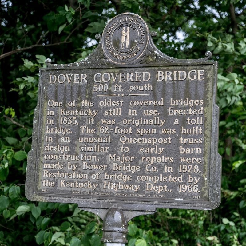
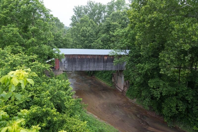
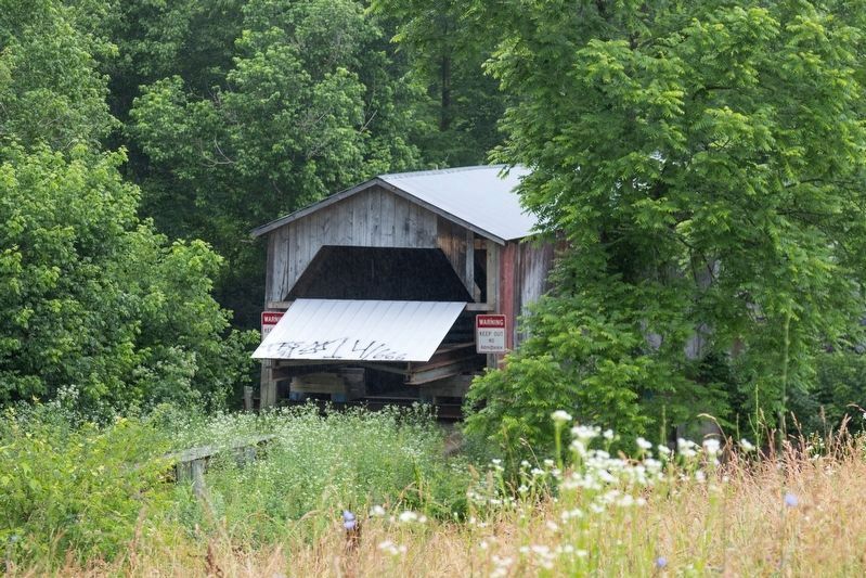
Dover Covered Bridge
500 ft. South
Erected 1972 by Kentucky Historical Society and Kentucky Department of Highways. (Marker Number 1439.)
Topics and series. This historical marker is listed in this topic list: Bridges & Viaducts. In addition, it is included in the Covered Bridges, and the Kentucky Historical Society series lists. A significant historical year for this entry is 1835.
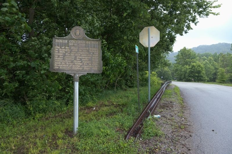
Location. 38° 45.103′ N, 83° 52.666′ W. Marker is near Dover, Kentucky, in Mason County. Marker is at the intersection of Mary Ingles Highway (Kentucky Route 8) and Lees Creek Road, on the right when traveling east on Mary Ingles Highway. Touch for map. Marker is in this post office area: Dover KY 41034, United States of America. Touch for directions.
Other nearby markers. At least 8 other markers are within 2 miles of this marker, measured as the crow flies. Castro-Metcalfe Duel (approx. 0.9 miles away); Ripley / The John P. Parker House (approx. 1˝ miles away in Ohio); John P. Parker’s Early Life (approx. 1˝ miles away in Ohio); John Parker’s Path (approx. 1˝ miles away in Ohio); The John P. Parker Family (approx. 1.6 miles away in Ohio); John P. Parker Memorial Park (approx. 1.6 miles away in Ohio); John P. Parker (approx. 1.6 miles away in Ohio); a different marker also named John P. Parker (approx. 1.6 miles away in Ohio).
Regarding Dover Covered Bridge. Total length 61 feet. Deck width 11.8 feet. Vertical clearance 10 feet. In service until 2005.
Also see . . . Wikipedia entry for Lee’s Creek Covered Bridge. “Many reasons have been offered to explain the construction of covered bridges in Kentucky during the 19th century. Roads across the bridges were kept dry and free of snow in winter. The protection the cover provided against wood deterioration was likely most important. The cover allowed timbered trusses and braces to season properly and kept water out of the joints, prolonging the life by seven to eight times that of an uncovered bridge.” (Submitted on July 8, 2019.)
Credits. This page was last revised on July 8, 2019. It was originally submitted on July 8, 2019, by J. J. Prats of Powell, Ohio. This page has been viewed 183 times since then and 17 times this year. Photos: 1, 2, 3, 4. submitted on July 8, 2019, by J. J. Prats of Powell, Ohio.


