Maysville in Mason County, Kentucky — The American South (East South Central)
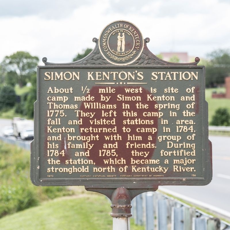
Simon Kentonís Station
Erected 1973 by Kentucky Historical Society and Kentucky Department of Highways. (Marker Number 138.)
Topics and series. This historical marker is listed in this topic list: Settlements & Settlers. In addition, it is included in the Kentucky Historical Society series list. A significant historical year for this entry is 1775.
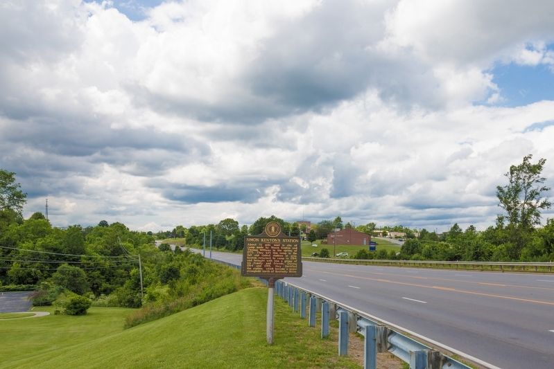
Location. 38° 38.187′ N, 83° 48.167′ W. Marker is in Maysville, Kentucky, in Mason County. Marker is at the intersection of AA Highway (U.S. 62) and Parker Road, on the right when traveling east on AA Highway. Touch for map. Marker is in this post office area: Maysville KY 41056, United States of America. Touch for directions.
Other nearby markers. At least 8 other markers are within 2 miles of this marker, measured as the crow flies. Hemp in Kentucky / Hemp in Mason County (approx. 0.9 miles away); Alexander W. Doniphan (approx. 1.1 miles away); Maysville Road (approx. 1.2 miles away); Dr. William Goforth House (approx. 1.3 miles away); Mefford's Fort (approx. 1.3 miles away); Site of First Postal Station (approx. 1.3 miles away); Murphy-Lasbrooke Home (approx. 1.4 miles away); Brodrick Tavern (approx. 1.4 miles away). Touch for a list and map of all markers in Maysville.
Credits. This page was last revised on November 26, 2023. It was originally submitted on July 9, 2019, by J. J. Prats of Powell, Ohio. This page has been viewed 976 times since then and 114 times this year. Photos: 1, 2. submitted on July 9, 2019, by J. J. Prats of Powell, Ohio.

