Arcanum in Darke County, Ohio — The American Midwest (Great Lakes)
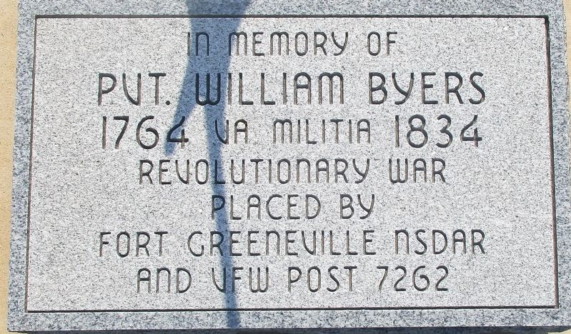
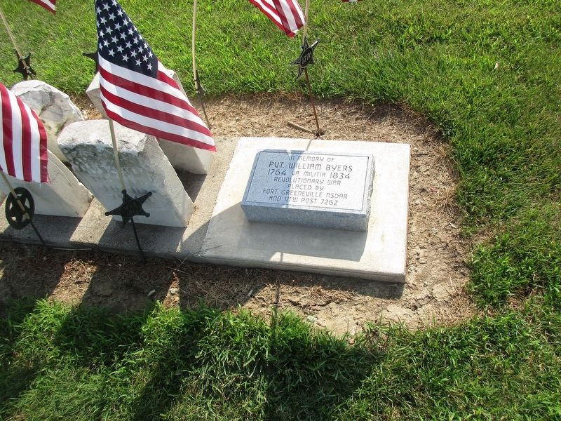
William Byers
Darke County DAR Project
— Revolutionary War Veteran —
Erected 2017 by Fort Greeneville Chapter NSDAR (National Society Daughters of the American Revolution) and VFW Post 7262.
Topics and series. This memorial is listed in this topic list: War, US Revolutionary. In addition, it is included in the Daughters of the American Revolution series list.
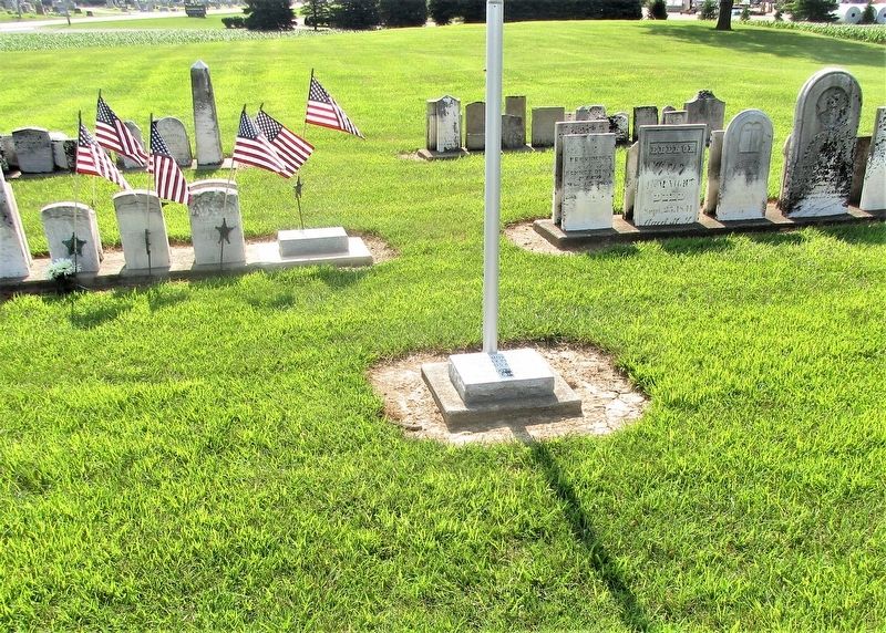
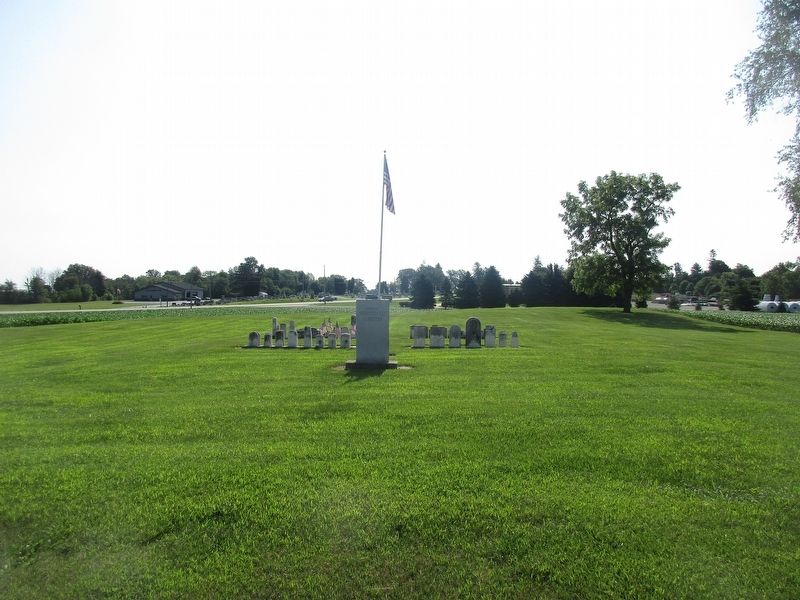
Location. 40° 2.371′ N, 84° 34.995′ W. Marker is in Arcanum, Ohio, in Darke County. Memorial is at the intersection of Myers - Tillman Road (County Route 147) and Ohio Route 49, on the left when traveling south on Myers - Tillman Road. marker is in Old Abbottsville Cemetery or Original Abbottsville Cemetery. Touch for map. Marker is at or near this postal address: 4201 Myers – Tillman Road, Arcanum OH 45304, United States of America. Touch for directions.
Other nearby markers. At least 8 other markers are within 4 miles of this marker, measured as the crow flies. Never Forget Garden (approx. 3.4 miles away); Studabaker School (approx. 3.4 miles away); Fort Jefferson Veterans Memorial (approx. 3.9 miles away); Fort Jefferson (approx. 3.9 miles away); a different marker also named Fort Jefferson (approx. 3.9 miles away); Fort Jefferson / St. Clair’s Defeat (approx. 4 miles away); Underground Passage (approx. 4 miles away); Well or Magazine Pit (approx. 4 miles away).
Additional keywords. Daughters of the American Revolution
Credits. This page was last revised on March 3, 2024. It was originally submitted on July 10, 2019, by Rev. Ronald Irick of West Liberty, Ohio. This page has been viewed 364 times since then and 33 times this year. Last updated on February 16, 2024, by Carolyn Sanders of Plano, Texas. Photos: 1, 2, 3, 4. submitted on July 10, 2019, by Rev. Ronald Irick of West Liberty, Ohio. • Devry Becker Jones was the editor who published this page.


