Beckhamville in Chester County, South Carolina — The American South (South Atlantic)
Alexander's Old Fields
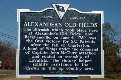
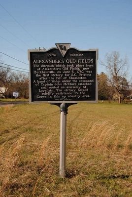
The skirmish which took place here at Alexander's Old Fields, now Beckhamville, on June 6, 1780, was the first victory for S.C. Patriots after the fall of Charleston. A band of Whigs under the command of Captain John McClure attacked and routed an assembly of Loyalist. The victory helped solidify resistance to the Crown in this up country area.
Erected 1978 by Chester County Historical Society. (Marker Number 12-6.)
Topics. This historical marker is listed in these topic lists: Military • War, US Revolutionary. A significant historical month for this entry is June 1759.
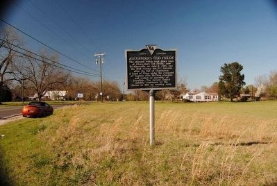
Location. 34° 35.43′ N, 80° 55.2′ W. Marker is in Beckhamville, South Carolina, in Chester County. Marker is at the intersection of Great Falls Highway (State Highway 97) and Chester Avenue (State Highway 99), on the left when traveling east on Great Falls Highway. Touch for map. Marker is in this post office area: Great Falls SC 29055, United States of America. Touch for directions.
Other nearby markers. At least 10 other markers are within 10 miles of this marker, measured as the crow flies. Battle Of Beckhamville (a few steps from this marker); Battle of Fishing Creek (approx. 3.3 miles away); Camp Creek Methodist Church (approx. 4.2 miles away); Rocky Mount (approx. 4˝ miles away); Graveyard Of The Richmond Covenanter Church Reformed Presbyterian (approx. 6.7 miles away); Catholic Presbyterian Church (approx. 7 miles away); Camp Welfare (approx. 7.1 miles away); Home Site of Justice John Gaston (approx. 7.3 miles away); Mt. Carmel Campground (approx. 8.1 miles away); Warrenton Muster Ground (approx. 9.8 miles away).
Credits. This page was last revised on June 16, 2016. It was originally submitted on November 20, 2008, by Michael Sean Nix of Spartanburg, South Carolina. This page has been viewed 2,917 times since then and 99 times this year. Photos: 1. submitted on November 20, 2008, by Michael Sean Nix of Spartanburg, South Carolina. 2, 3. submitted on June 6, 2016, by Brian Scott of Anderson, South Carolina. 4. submitted on November 20, 2008, by Michael Sean Nix of Spartanburg, South Carolina. • Bill Pfingsten was the editor who published this page.


