Church Hill in Jefferson County, Mississippi — The American South (East South Central)
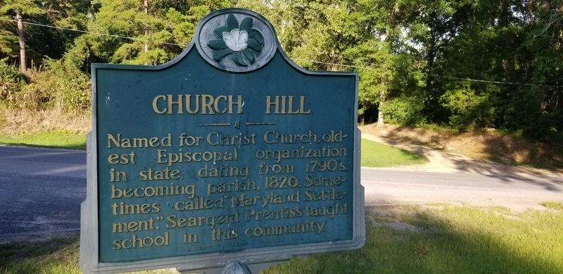
Church Hill
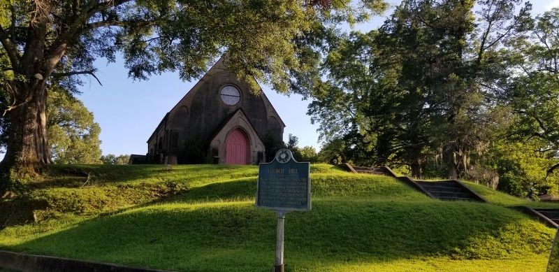
Named for Christ Church, oldest Episcopal organization dating from 1790's becoming parish, 1820. Sometimes called "Maryland Settlement." Seargent Prentiss taught school in this community.
Erected 1952 by Mississippi Historical Commission.
Topics. This historical marker is listed in these topic lists: Churches & Religion • Settlements & Settlers.
Location. 31° 42.946′ N, 91° 14.297′ W. Marker is in Church Hill, Mississippi, in Jefferson County. Marker is at the intersection of State Highway 535 and Church Hill Road, on the right when traveling north on State Highway 535. Touch for map. Marker is in this post office area: Natchez MS 39120, United States of America. Touch for directions.
Other nearby markers. At least 8 other markers are within 6 miles of this marker, measured as the crow flies. Mount Locust (approx. 3˝ miles away); a different marker also named Mount Locust (approx. 3˝ miles away); Springfield (approx. 3.8 miles away); Loess Bluff (approx. 5.1 miles away); Emerald Mound (approx. 5.6 miles away); a different marker also named Emerald Mound (approx. 5.6 miles away); a different marker also named Emerald Mound (approx. 5.6 miles away); One Mound Among Many (approx. 5.6 miles away).
Credits. This page was last revised on July 21, 2019. It was originally submitted on July 21, 2019, by Cajun Scrambler of Assumption, Louisiana. This page has been viewed 203 times since then and 26 times this year. Photos: 1, 2. submitted on July 21, 2019.

