Antimony in Garfield County, Utah — The American Mountains (Southwest)
Pioneers of Antimony
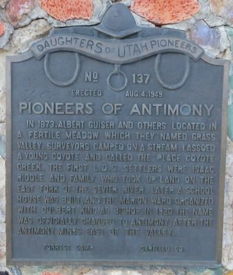
Photographed by Bill Kirchner, September 29, 2018
1. Pioneers of Antimony Marker
Erected 1949 by Daughters of Utah Pioneers Forrest Camp · · · Garfield Co. (Marker Number 137.)
Topics. This historical marker is listed in these topic lists: Religion & Religious Structures • Settlements & Settlers. A significant historical year for this entry is 1873.
Location. 38° 6.907′ N, 111° 59.8′ W. Marker is in Antimony, Utah, in Garfield County. It is on Utah Route 22, on the right when traveling east. Touch for map. Marker is in this post office area: Antimony UT 84712, United States of America. Touch for directions.

Regionally, this marker is in Canyon Country and specifically in Color Country. It is also in the American Mountain

this page online
Other nearby markers. At least 3 other markers are within 13 miles of this marker, measured as the crow flies: Antimony Honor Roll (within shouting distance of this marker); The Fish Lake Cut-off on the Old Spanish Trail (approx. 10.3 miles away); Kingston Ward (approx. 12.2 miles away).
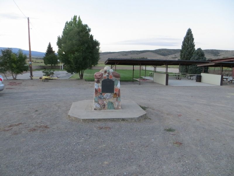
Photographed by Bill Kirchner, September 29, 2018
2. Pioneers of Antimony Marker
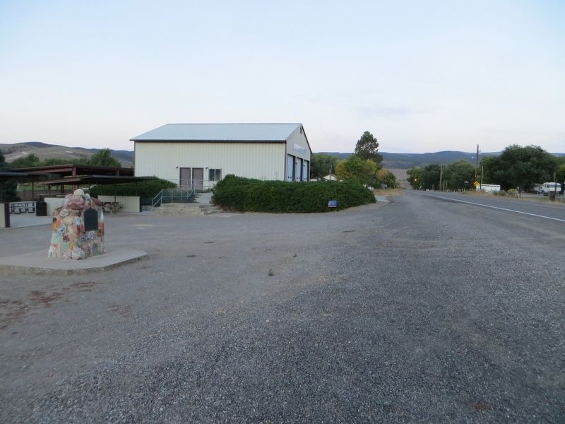
Photographed by Bill Kirchner, September 29, 2018
3. Pioneers of Antimony Marker

Photographed by Tom Bosse, July 27, 2024
4. Pioneers of Antimony Marker
Credits. This page was last revised on November 23, 2024. It was originally submitted on July 22, 2019, by Bill Kirchner of Tucson, Arizona. This page has been viewed 536 times since then and 80 times this year. Photos: 1, 2, 3. submitted on July 22, 2019, by Bill Kirchner of Tucson, Arizona. 4. submitted on November 10, 2024, by Tom Bosse of Jefferson City, Tennessee.
