Koosharem in Sevier County, Utah — The American Mountains (Southwest)
Settlers of Grass Valley
Noble Mormon Pioneers
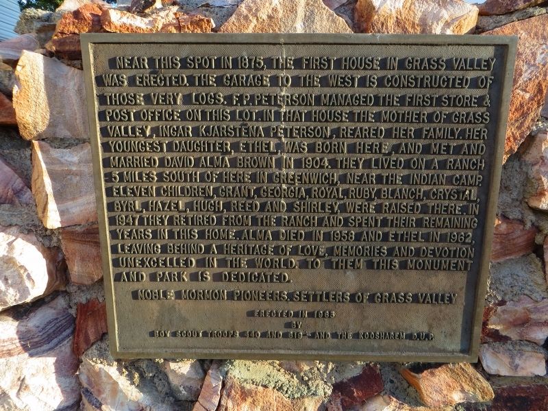
Photographed by Bill Kirchner, September 29, 2018
1. Settlers of Grass Valley Marker
Erected 1963 by Boy Scout Troops 440 and 619 - and the Koosharem D.U.P.
Topics. This historical marker is listed in this topic list: Settlements & Settlers. A significant historical year for this entry is 1875.
Location. 38° 30.713′ N, 111° 52.788′ W. Marker is in Koosharem, Utah, in Sevier County. It is at the intersection
this page online

Regionally, this marker is in the Central Utah Valleys. It is also in the American Mountain West and on the Colorado Plateau. Globally, it is in North America, the Western Hemisphere, the Western World, and the Anglosphere. Historically, it finds itself in what was once New Spain and also Mexico’s Alta California.
Other nearby markers. At least 5 other markers are within 17 miles of this marker, measured as the crow flies: Koosharem Amusement Hall (about 400 feet away, measured in a direct line); Indian Peace Treaty (approx. 4.7 miles away); The Fish Lake Cut-off on the Old Spanish Trail (approx. 7½ miles away); Peace Treaty with Fish Lake Indians (approx. 7.9 miles away); Settlement of Annabella (approx. 16.7 miles away).
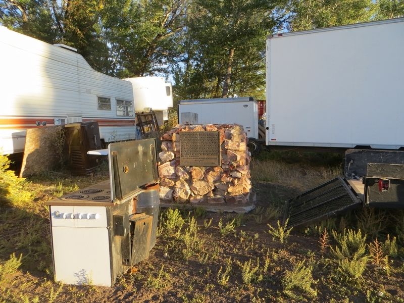
Photographed by Bill Kirchner, September 29, 2018
2. Settlers of Grass Valley Marker
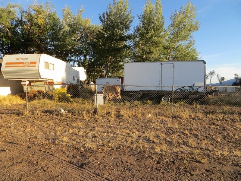
Photographed by Bill Kirchner, September 29, 2018
3. Settlers of Grass Valley Marker
Credits. This page was last revised on July 22, 2019. It was originally submitted on July 22, 2019, by Bill Kirchner of Tucson, Arizona. This page has been viewed 803 times since then and 46 times this year. Photos: 1, 2, 3. submitted on July 22, 2019, by Bill Kirchner of Tucson, Arizona.
