Albany in Alameda County, California — The American West (Pacific Coastal)
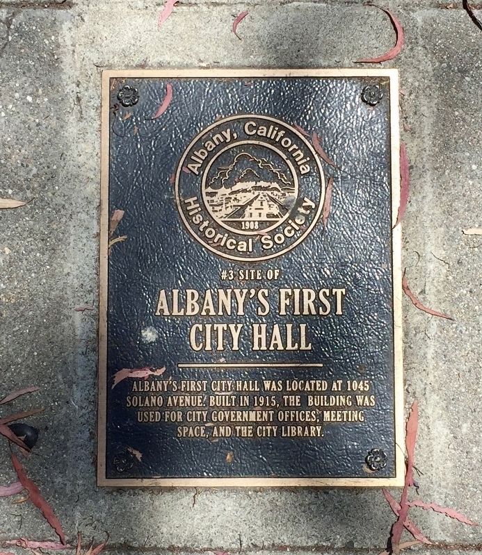
Site of Albany's First City Hall
Erected by Albany Historical Society. (Marker Number 3.)
Topics. This historical marker is listed in this topic list: Government & Politics.
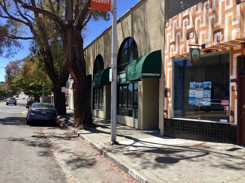
Location. 37° 53.417′ N, 122° 17.975′ W. Marker is in Albany, California, in Alameda County. Marker is on Solano Avenue west of San Pablo Avenue, on the right when traveling west. Touch for map. Marker is at or near this postal address: 1049 Solano Avenue, Albany CA 94706, United States of America. Touch for directions.
Other nearby markers. At least 8 other markers are within walking distance of this marker. Site of Garbage Wars (approx. 0.2 miles away); Site of Albany's First Firehouse (approx. 0.2 miles away); Site of Albany's First Official Public Building (approx. 0.2 miles away); Rose Wave (approx. ¼ mile away); Site of Albany Hospital (approx. 0.4 miles away); Site of Miller's Barn (approx. half a mile away); Site of Charles MacGregor's Office (approx. half a mile away); Ranchos San Pablo and San Antonio Boundary Monument (approx. half a mile away). Touch for a list and map of all markers in Albany.
Credits. This page was last revised on July 24, 2019. It was originally submitted on July 24, 2019, by Andrew Ruppenstein of Lamorinda, California. This page has been viewed 166 times since then and 15 times this year. Photos: 1, 2. submitted on July 24, 2019, by Andrew Ruppenstein of Lamorinda, California.

