Near St. Johnsville in Montgomery County, New York — The American Northeast (Mid-Atlantic)
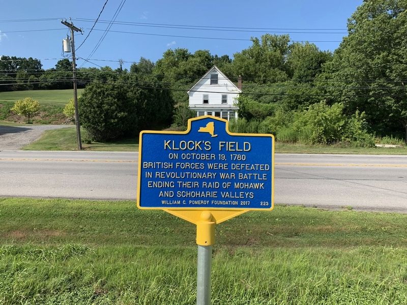
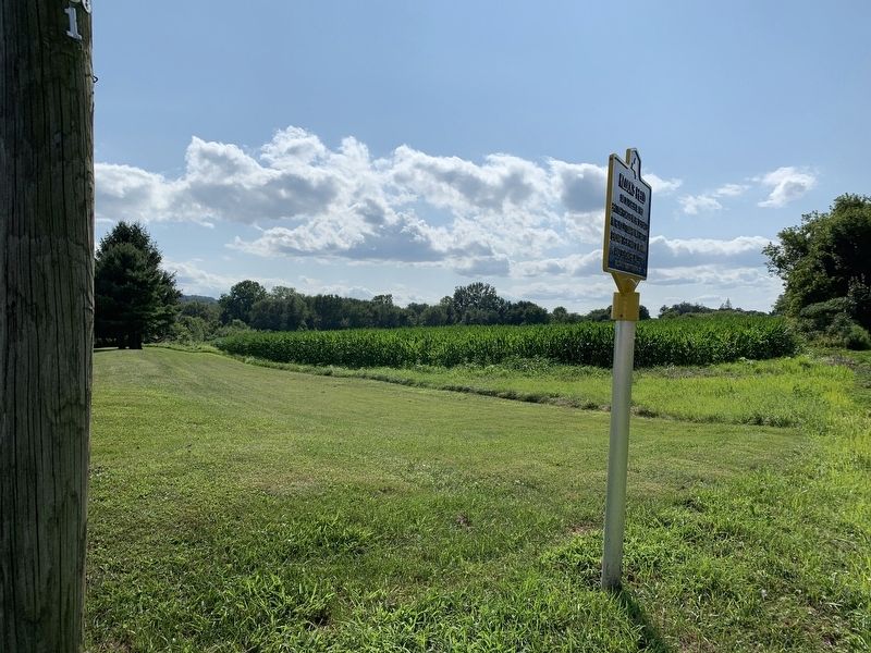
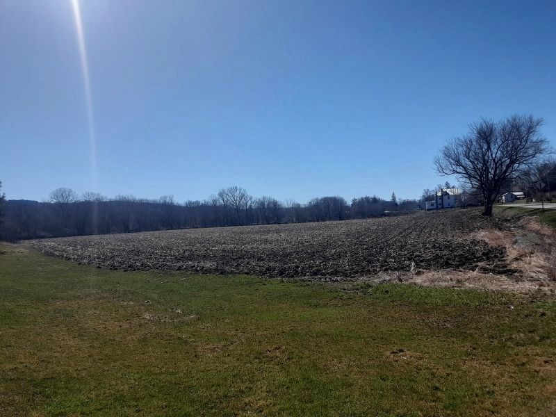
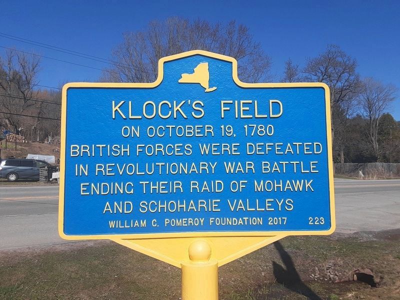
Klock’s Field
Erected 2017 by William G. Pomeroy Foundation. (Marker Number 223.)
Topics. This historical marker is listed in this topic list: War, US Revolutionary. A significant historical date for this entry is October 19, 1780.
Location. 42° 59.821′ N, 74° 39.881′ W. Marker is near St. Johnsville, New York, in Montgomery County. Marker is on New York State Route 5, on the right when traveling east. Touch for map. Marker is in this post office area: Saint Johnsville NY 13452, United States of America. Touch for directions.
Other nearby markers. At least 8 other markers are within 2 miles of this marker, measured as the crow flies. Col. Jacob Klock (about 400 feet away, measured in a direct line); Klock’s Church (about 600 feet away); Parrot Rifle (approx. ¼ mile away); Welcome to St. Johnsville (approx. 0.3 miles away); St. Johnsville War Memorial (approx. 0.3 miles away); Nellis Tavern (approx. 0.4 miles away); Jacob Zimmerman (approx. 0.7 miles away); Klock Fort (approx. 1.1 miles away). Touch for a list and map of all markers in St. Johnsville.
Also see . . .
1. Battle of Klock’s Field. (Submitted on August 5, 2019, by Steve Stoessel of Niskayuna, New York.)
2. Historic Marker Klock's Field. (Submitted on November 1, 2021, by Howard C. Ohlhous of Duanesburg, New York.)
Credits. This page was last revised on April 23, 2024. It was originally submitted on August 5, 2019, by Steve Stoessel of Niskayuna, New York. This page has been viewed 420 times since then and 23 times this year. Photos: 1, 2, 3. submitted on August 5, 2019, by Steve Stoessel of Niskayuna, New York. 4, 5. submitted on April 14, 2024, by Scott J. Payne of Deposit, New York. • Bill Pfingsten was the editor who published this page.


