Hobart in Delaware County, New York — The American Northeast (Mid-Atlantic)
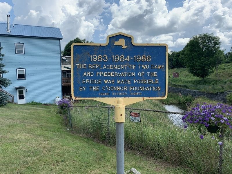
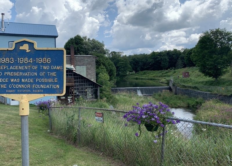
1983 - 1984 - 1986
Erected by Hobart Historical Society.
Topics. This historical marker is listed in this topic list: Bridges & Viaducts.
Location. 42° 22.284′ N, 74° 40.174′ W. Marker is in Hobart, New York, in Delaware County. Marker is at the intersection of Maple Avenue and Main Street (New York State Route 10), on the left when traveling west on Maple Avenue. Touch for map. Marker is in this post office area: Hobart NY 13788, United States of America. Touch for directions.
Other nearby markers. At least 8 other markers are within 5 miles of this marker, measured as the crow flies. St. Peters (approx. 0.2 miles away); In Memory of Our Heroic Dead (approx. 3.7 miles away); Herring Park (approx. 3.7 miles away); Mount Utsayantha (approx. 3.9 miles away); Sugar Bush Raid (approx. 4˝ miles away); a different marker also named Sugar Bush Raid (approx. 4˝ miles away); Harpersfield Toll Gate (approx. 4.6 miles away); a different marker also named Sugar Bush Raid (approx. 4.6 miles away).
Credits. This page was last revised on August 8, 2019. It was originally submitted on August 6, 2019, by Steve Stoessel of Niskayuna, New York. This page has been viewed 160 times since then and 11 times this year. Photos: 1, 2. submitted on August 6, 2019, by Steve Stoessel of Niskayuna, New York. • Bill Pfingsten was the editor who published this page.

