Near Hudson in Columbia County, New York — The American Northeast (Mid-Atlantic)
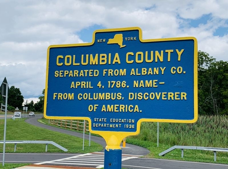
Columbia County
Erected 1936 by State Education Department.
Topics. This historical marker is listed in this topic list: Government & Politics. A significant historical date for this entry is April 4, 1786.
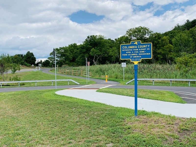
Location. 42° 13.188′ N, 73° 49.962′ W. Marker is near Hudson, New York, in Columbia County. Marker is at the intersection of New York State Route 9G and New York State Route 23, on the right on State Route 9G. Touch for map. Marker is in this post office area: Hudson NY 12534, United States of America. Touch for directions.
Other nearby markers. At least 8 other markers are within walking distance of this marker. Olana Viewshed (about 300 feet away, measured in a direct line); a different marker also named Columbia County (about 400 feet away); a different marker also named Olana Viewshed (about 400 feet away); Ridge Road (approx. 0.2 miles away); Frederick Church and Olana (approx. ¼ mile away); a different marker also named Columbia County (approx. ¼ mile away); Overview of Olana (approx. ¼ mile away); House and Environs (approx. 0.3 miles away). Touch for a list and map of all markers in Hudson.
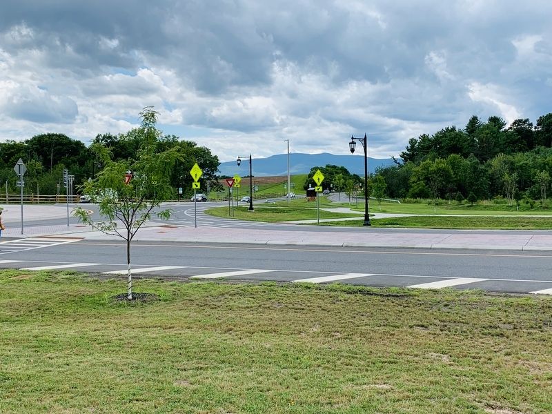
More about this marker. The construction of a new traffic circle and skywalk caused a change in this marker’s location. It used to be 500 ft to the NE
Credits. This page was last revised on August 12, 2019. It was originally submitted on August 11, 2019, by Steve Stoessel of Niskayuna, New York. This page has been viewed 150 times since then and 16 times this year. Photos: 1, 2, 3. submitted on August 11, 2019, by Steve Stoessel of Niskayuna, New York. • Bill Pfingsten was the editor who published this page.


