Stevensville in Queen Anne's County, Maryland — The American Northeast (Mid-Atlantic)
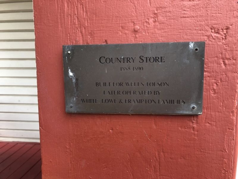
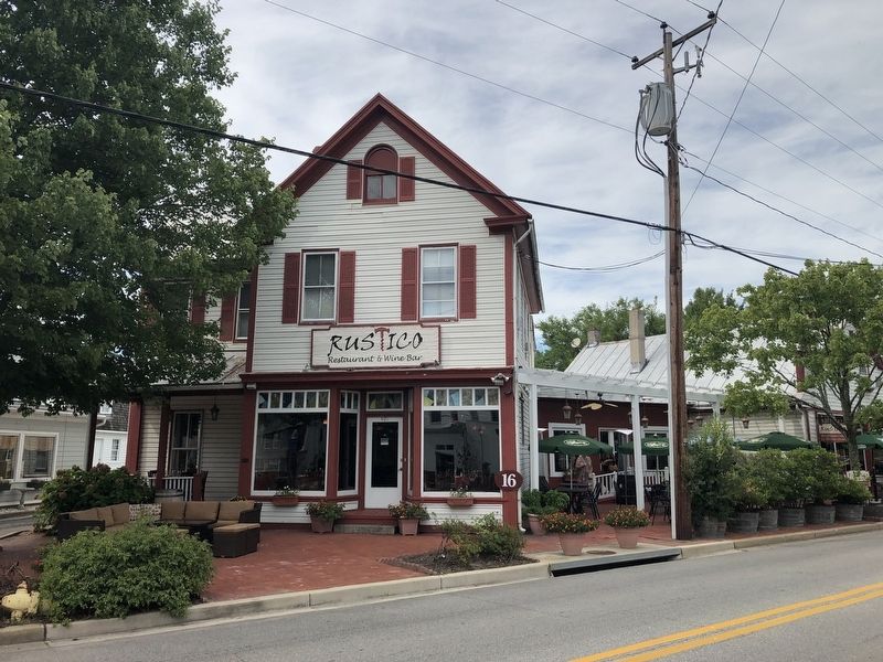
Country Store
1885-1890
Later operated by
White, Howe & Frampton families
Topics. This historical marker is listed in these topic lists: Industry & Commerce • Notable Buildings. A significant historical year for this entry is 1885.
Location. 38° 58.876′ N, 76° 18.885′ W. Marker is in Stevensville, Maryland, in Queen Anne's County. Marker is on Love Point Road east of Cockey Lane, on the left when traveling east. Touch for map. Marker is at or near this postal address: 401 Love Point Road, Stevensville MD 21666, United States of America. Touch for directions.
Other nearby markers. At least 8 other markers are within walking distance of this marker. Stevensville Bank (a few steps from this marker); Old Stevensville Post Office (a few steps from this marker); Grollman's Store (within shouting distance of this marker); Cray House (within shouting distance of this marker); Stevensville Train Depot (within shouting distance of this marker); Christ Church (about 500 feet away, measured in a direct line); Kent Island (approx. 0.6 miles away); a different marker also named Kent Island (approx. 0.7 miles away). Touch for a list and map of all markers in Stevensville.
Credits. This page was last revised on August 12, 2019. It was originally submitted on August 11, 2019, by Devry Becker Jones of Washington, District of Columbia. This page has been viewed 187 times since then and 22 times this year. Photos: 1, 2. submitted on August 11, 2019, by Devry Becker Jones of Washington, District of Columbia.

