Montgomery in Fayette County, West Virginia — The American South (Appalachia)
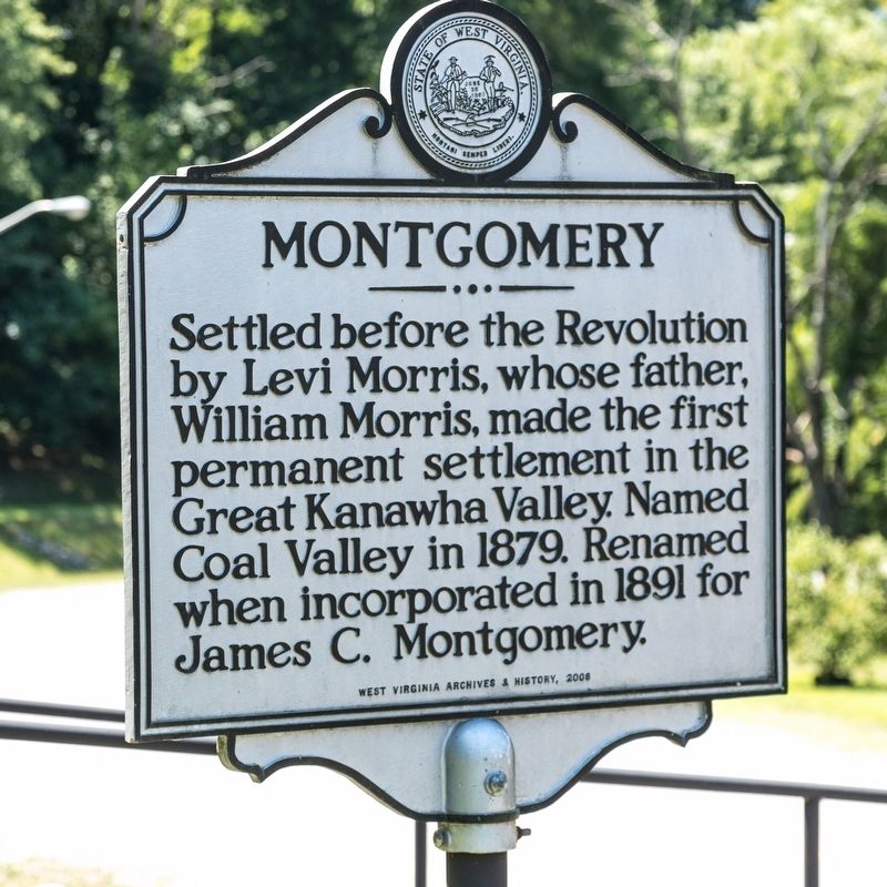
Montgomery
Erected 2008 by West Virginia Archives and History.
Topics and series. This historical marker is listed in this topic list: Settlements & Settlers. In addition, it is included in the West Virginia Archives and History series list. A significant historical year for this entry is 1891.
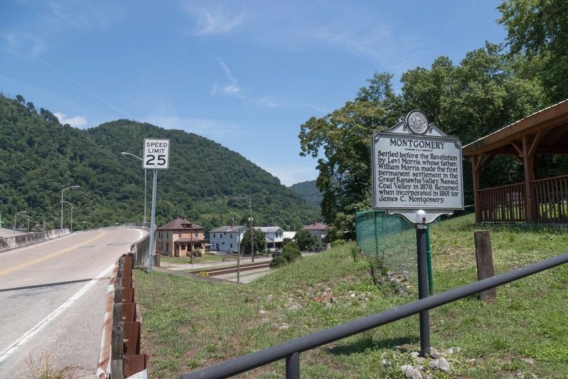
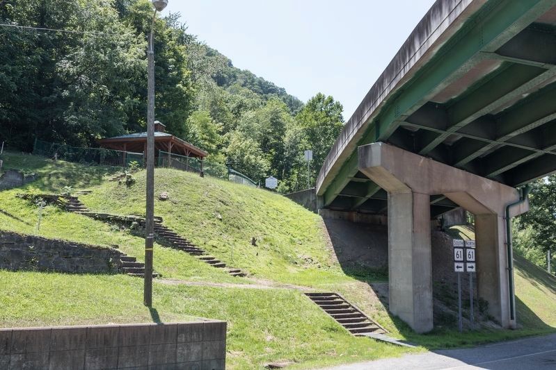
Location. 38° 10.819′ N, 81° 19.088′ W. Marker is in Montgomery, West Virginia, in Fayette County. Marker can be reached from the intersection of Deepwater Mountain Road (West Virginia Route 61) and the Montgomery Bridge (West Virginia Route 6), on the right when traveling east. It is at the Lou Tabit Wayside Park. Marker can be seen from the Route 6 bridge approach, but there is no parking there. Park below the bridge on Route 61 and take the cement steps up to the picnic shelter and marker. Touch for map. Marker is at or near this postal address: 315 4th Ave, Montgomery WV 25136, United States of America. Touch for directions.
Other nearby markers. At least 8 other markers are within 5 miles of this marker, measured as the crow flies. Christopher H. Payne (about 300 feet away, measured in a direct line); a different marker also named Montgomery (approx. ¼ mile away); West Virginia Institute of Technology (approx. 0.4 miles away); Fayette County / Kanawha County (approx. 0.6 miles away); Ancient Works (approx. 3 miles away); Bull Moose Special (approx. 4.3 miles away); Holly Grove “Bull Moose Special” (approx. 4.3 miles away); Mucklow / Gallagher, WV (approx. 5.1 miles away). Touch for a list and map of all markers in Montgomery.
Credits. This page was last revised on August 18, 2019. It was originally submitted on August 18, 2019, by J. J. Prats of Powell, Ohio. This page has been viewed 278 times since then and 51 times this year. Photos: 1, 2, 3. submitted on August 18, 2019, by J. J. Prats of Powell, Ohio.


