Near Millerton in Dutchess County, New York — The American Northeast (Mid-Atlantic)
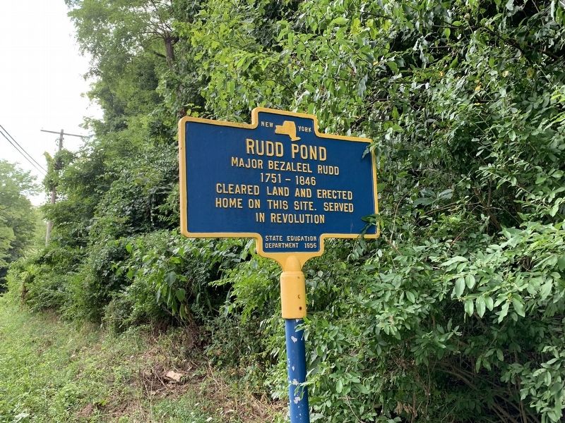
Rudd Pond
Erected 1956 by State Education Department.
Topics. This historical marker is listed in these topic lists: Settlements & Settlers • War, US Revolutionary.
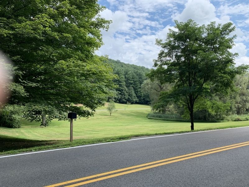
Location. 41° 59.056′ N, 73° 30.437′ W. Marker is near Millerton, New York, in Dutchess County. Marker is on Rudd Pond Road, on the right when traveling south. Across the road from entrance to the State Park. Touch for map. Marker is in this post office area: Millerton NY 12546, United States of America. Touch for directions.
Other nearby markers. At least 8 other markers are within 4 miles of this marker, measured as the crow flies. Iron Mine Pond (approx. 0.4 miles away); Irondale School (approx. 1.2 miles away); a different marker also named Irondale School (approx. 1.2 miles away); Spencer's Corners (approx. 1˝ miles away); Town of North East War Memorial (approx. 2.1 miles away); Irondale Cemetery (approx. 2.2 miles away); Pine Plains Northeast Line (approx. 2.7 miles away); North East Center Burying Ground (approx. 4 miles away). Touch for a list and map of all markers in Millerton.
Credits. This page was last revised on September 6, 2019. It was originally submitted on August 19, 2019, by Steve Stoessel of Niskayuna, New York. This page has been viewed 292 times since then and 21 times this year. Photos: 1, 2. submitted on August 19, 2019, by Steve Stoessel of Niskayuna, New York. • Bill Pfingsten was the editor who published this page.

