Beckley in Raleigh County, West Virginia — The American South (Appalachia)
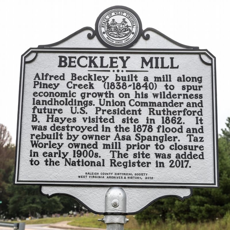
Beckley Mill
Erected 2018 by Raleigh County Historical Society and West Virginia Archives and History.
Topics and series. This historical marker is listed in this topic list: Industry & Commerce. In addition, it is included in the Former U.S. Presidents: #19 Rutherford B. Hayes, and the West Virginia Archives and History series lists. A significant historical year for this entry is 1862.
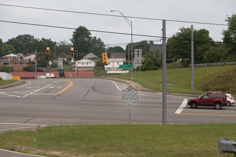
Location. 37° 46.463′ N, 81° 9.585′ W. Marker is in Beckley, West Virginia, in Raleigh County. Marker is at the intersection of Joel L. Smith Drive and Jersey Avenue, on the right when traveling north on Joel L. Smith Drive. Touch for map. Marker is in this post office area: Beckley WV 25801, United States of America. Touch for directions.
Other nearby markers. At least 8 other markers are within walking distance of this marker. Green Beret Birthplace (approx. 0.4 miles away); State Police Radio Station And Barracks (approx. 0.6 miles away); Colonel Ernest E. Chilson (approx. 0.6 miles away); "The Most Modern Club": Black Knight (approx. 0.7 miles away); Airport Hangar and Office (approx. ¾ mile away); Civil War Site (approx. ¾ mile away); Alfred Beckley / Wildwood (approx. ¾ mile away); The Mysterious Ferguson Rock (approx. ¾ mile away). Touch for a list and map of all markers in Beckley.
Also see . . . New trail to historic mill ruin to open Saturday in Beckley. 2017 article by David Sibray in the West Virginia Explorer. Includes photographs. Excerpt:
The half-mile trail descends steeply from the margins of the City of Beckley to the banks of the Piney Creek and is part of a system of trails opened in and near the Piney Creek Gorge, according to Tom Sopher, who spearheaded development of the mill site.(Submitted on August 22, 2019.)
The mill was commissioned by Alfred Beckley in the 1830s to provide meal for tenants of Beckleyville, the town he developed at a crossroads between the New and Kanawha rivers, according to Sopher.
The mill fell out of use in the early 1900s as railroad commerce supplanted the need for local milling, and for many years the site was forgotten by all-but-a-handful of historians.
Credits. This page was last revised on August 22, 2019. It was originally submitted on August 22, 2019, by J. J. Prats of Powell, Ohio. This page has been viewed 525 times since then and 130 times this year. Photos: 1, 2. submitted on August 22, 2019, by J. J. Prats of Powell, Ohio.

