St. Charles in St. Charles County, Missouri — The American Midwest (Upper Plains)
Saint Charles
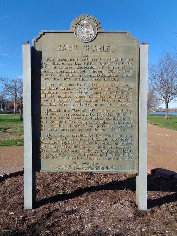
The area was first settled by the French and later largely by Americans and Germans. Prominent early settlers were Daniel Boone and his family. Some 25 miles southwest is home of Boone's son, Nathan. The Boon's Lick and Salt River trails began at St. Charles.
During the War of 1812 military activity in Missouri centered at Portage des Sioux, a 1799 French settlement, 14 miles northeast. In Fort Zumwalt State Park, 20 miles west, stand the remains of one of many family forts of the area erected against Indian attacks.
Here were established the first school of the Sacred Heart of the U.S., 1818, by Mother Duchesne; Baptist and Presbyterian churches, 1818; first Masonic lodge north of Missouri River, 1819; a town academy, chartered, 1820; a newspaper, "The Missourian," 1820; and the Methodist St. Charles College, chartered 1837.
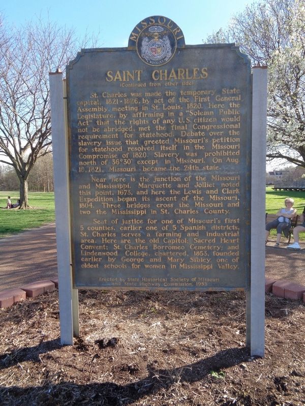
St. Charles was made the temporary State Capital, 1821-1826, by act of the First General Assembly, meeting in St. Louis, 1820. Here the Legislature, by affirming in a "Solemn Public Act" that the rights of any U.S. citizen would not be abridged, met the final Congressional requirement for statehood. Debate over the slavery issue that greeted Missouri's petition for statehood resolved itself in the Missouri Compromise of 1820. Slavery was prohibited north of 36 30' except in Missouri. On Aug. 10, 1821, Missouri became the 24th state.
Near here is the junction of the Missouri and Mississippi. Marquette and Jolliet noted this point, 1673, and here the Lewis and Clark Expedition began its ascent of the Missouri, 1804. Three bridges cross the Missouri and two cross the Mississippi in St. Charles County.
Seat of justice for one of Missouri's first 5 counties, earlier one of 5 Spanish districts, St. Charles serves as a farming and industrial area. Here are the Old State Capitol; Sacred Heart Convent; St. Charles Borromeo Cemetery; and Lindenwood College, chartered, 1853, founded earlier by George and Mary Sibley, one of oldest schools for women in Mississippi Valley.
Erected 1953 by State Historical Society of Missouri and State Highway Commission.
Topics and series. This historical marker is listed in these topic lists: Exploration • Settlements & Settlers • War of 1812. In addition, it is included in the Missouri, The State Historical Society of series list. A significant historical year for this entry is 1791.
Location. 38° 46.644′ N, 90° 28.896′ W. Marker is in St. Charles, Missouri, in St. Charles County. Marker is on South Riverside Drive. Touch for map. Marker is in this post office area: Saint Charles MO 63301, United States of America. Touch for directions.
Other nearby markers. At least 8 other markers are within walking distance of this marker. History of 426 South Main Street (about 400 feet away, measured in a direct line); The Mother-in-Law House (about 500 feet away); Glenday / Zeisler Home (about 500 feet away); Lewis & Clark Monument (about 600 feet away); The Lewis and Clark Expedition Across Missouri (about 600 feet away); Home of Dr. Jeremiah Millington (about 600 feet away); St. Charles Borromeo Log Church (about 600 feet away); First Methodist Church (about 700 feet away). Touch for a list and map of all markers in St. Charles.
Credits. This page was last revised on October 14, 2019. It was originally submitted on August 23, 2019, by Jason Voigt of Glen Carbon, Illinois. This page has been viewed 306 times since then and 26 times this year. Photos: 1, 2. submitted on August 23, 2019, by Jason Voigt of Glen Carbon, Illinois. • Bill Pfingsten was the editor who published this page.

