
Oceana in Wyoming County, West Virginia — The American South (Appalachia)
John Cooke
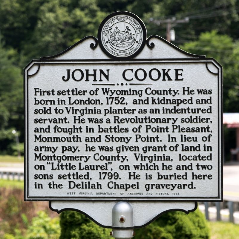
Photographed by J. J. Prats, July 15, 2019
1. John Cooke Marker
Erected 1973 by West Virginia Department of Archives and History.
Topics and series. This historical marker is listed in these topic lists: Settlements & Settlers • War, US Revolutionary. In addition, it is included in the West Virginia Archives and History series list. A significant historical year for this entry is 1752.
Location. 37° 41.346′ N, 81° 37.36′ W. Marker is in Oceana, West Virginia, in Wyoming County. It is on Cook Parkway (West Virginia Route 10) 0.2 miles south of Kooperston Road (Route 85), on the left when traveling west. It is next to Berlin McKinney Elementary School at the edge of Laurel Park. Touch for map. Marker is in this post office area: Oceana WV 24870, United States
this page online

Regionally, this marker is in the Southern Coalfields. It is also in the American South, specifically in the Upper South, in Appalachia, and specifically in Southern Appalachia. Globally, it is in North America, the Western Hemisphere, the Western World, and the Anglosphere. Historically, it finds itself in what was once the territory of the Mississippian Culture.
Other nearby markers. At least 8 other markers are within walking distance of this marker: Just Cause (here, next to this marker); After The Flag Is Folded (here, next to this marker); American Disabled Veterans (here, next to this marker); Duty Honor Country (here, next to this marker); Capt. Ralph Stewart (a few steps from this marker); Oceana Veterans Memorial Wall (within shouting distance of this marker); a different marker also named John Cooke (approx. 0.6 miles away); Civil War Romance (approx. one mile away). Touch for a list and map of all markers in Oceana.
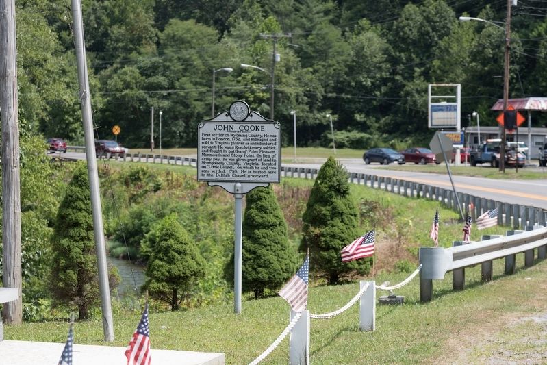
Photographed by J. J. Prats, July 15, 2019
2. John Cooke Marker
Credits. This page was last revised on December 19, 2024. It was originally submitted on August 27, 2019, by J. J. Prats of Powell, Ohio. This page has been viewed 2,323 times since then and 185 times this year. Photos: 1, 2. submitted on August 27, 2019, by J. J. Prats of Powell, Ohio.
