Spruce Pine in Mitchell County, North Carolina — The American South (South Atlantic)
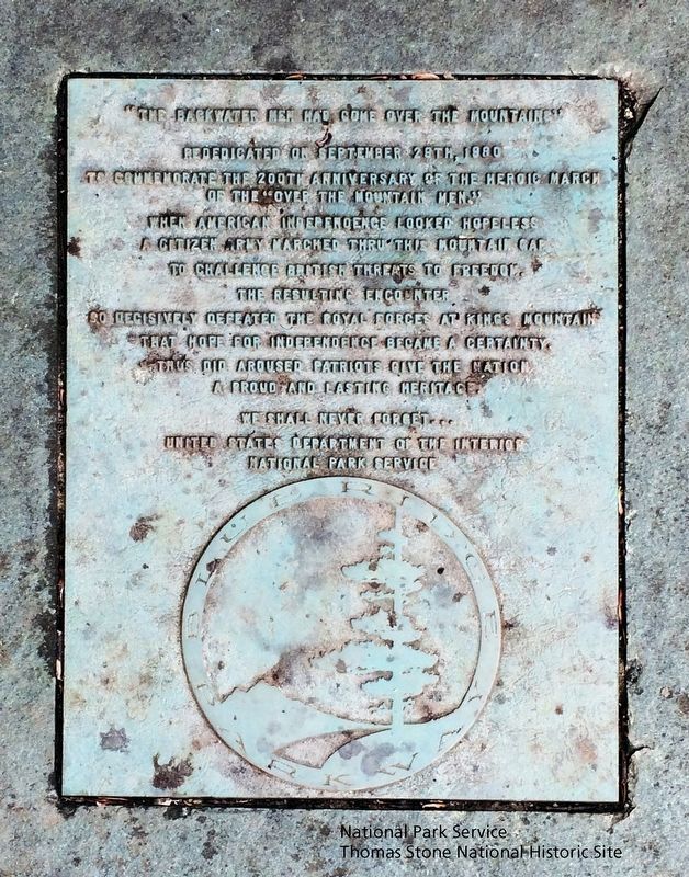
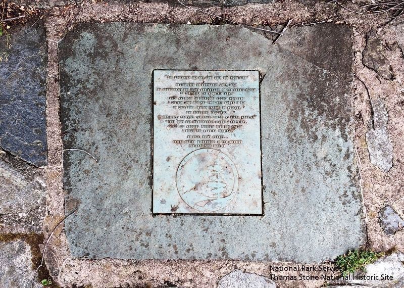
"The Blackwater Men Had Come Over the Mountain"
Inscription.
to commemorate the 200th anniversary of the heroic march
of the "Over the Mountain Men."
When American independence looked hopeless
a citizen army marched thru this mountain gap
to challenge British threats to freedom.
The resulting encounter
so decisively defeated the Royal Forces at Kings Mountain
that hope for independence became a certainty.
Thus did aroused Patriots give the nation
a proud and lasting heritage.
We shall never forget...
United States Department of the Interior
National Park Service
Erected 1980 by United States Department of the Interior, National Park Service.
Topics. This memorial is listed in these topic lists: Patriots & Patriotism • War, US Revolutionary.
Location. 35° 51.25′ N, 82° 3.101′ W. Marker is in Spruce Pine, North Carolina, in Mitchell County. Memorial can be reached from Parkway Maintenance Road, 0.2 miles west of State Highway 226, on the left when traveling west. Located behind the Museum of North Carolina Minerals, which is at milepost 331 along the Blue Ridge Parkway. Touch for map. Marker is in this post office area: Spruce Pine NC 28777, United States of America. Touch for directions.
Other nearby markers. At least 8 other markers are within 5 miles of this marker, measured as the crow flies. Gillespie Gap (within shouting distance of this marker); Spruce Pine Mining District (about 500 feet away, measured in a direct line); The Loops (approx. 2 miles away); Sounds From the Mountains (approx. 2 miles away); First Mountain Parkway (approx. 3.1 miles away); Apple Tree (approx. 3.8 miles away); Cathey's Fort (approx. 4 miles away); Near This Point (approx. 4.4 miles away). Touch for a list and map of all markers in Spruce Pine.
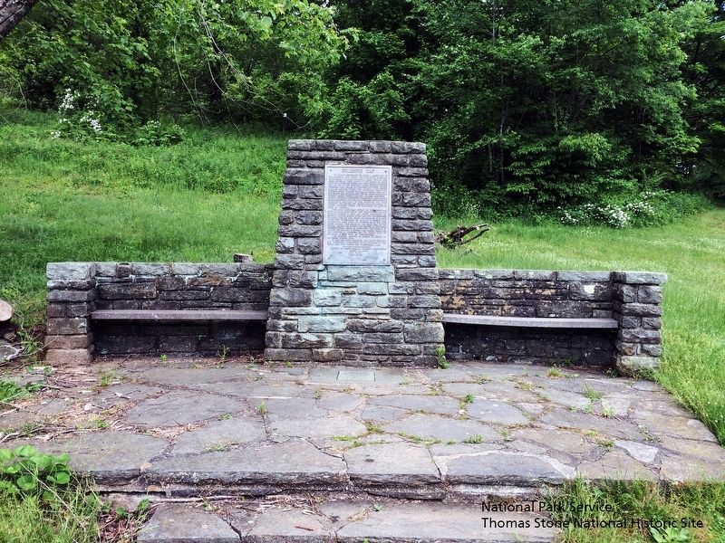
More about this marker. The Gillespie Gap monument was originally located nearby in McDowell County where the Overmountain Men camped on September 29, 1780. It was relocated in 1955 during construction of the Museum of North Carolina Minerals. The museum was dedicated on June 17, 1955 by Governor Luther Hodges. The “The Blackwater Men Had Come Over the Mountain” marker was added September 29th, 1980.
Also see . . .
1. Overmountain Victory National Historic Trail, National Park Service. Marker is recognized as part of the trail. (Submitted on August 28, 2019.)
2. Museum of North Carolina Minerals, Blue Ridge Parkway, National Park Service. The marker is located adjacent to this museum. (Submitted on August 28, 2019.)
3. Gillespie Gap Monument, Spruce Pine, Commemorative Landscapes of North Carolina
. Link tells history of the Gillespie Gap Monument and the marker. (Submitted on August 28, 2019.)
National Park Service, Thomas Stone National Historic Site, May 26, 2019
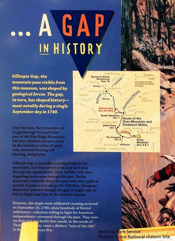
5. A Gap into History exhibit in the adjacent Museum of North Carolina Minerals.
Gillespie Gap, the mountain pass visible from this museum, was shaped by geological forces. The gap, in turn, has shaped history—most notably during a single September day in 1780.
Over the eons, the noticeable cut or gap through this particular part of the Blue Ridge Mountains has been chiseled and worn away by the relentless action of wind, rain, seasonal freezing and thawing, and gravity.
Gillespie Gap, a naturally occuring break in the mountains, has long served as an east-west pass through the Appalachians. Deer, buffalo, and other migrating herds came through the pass. Native Americans ventured along the same well-worn paths in pursuit of game and trade goods. Still later, European-Americans traveled through the gap by wagon and on foot to begin new lives on the western frontier.
However, the single most celebrated crossing occured on September 29, 1780, when hundreds of Patriot militiamen—colonists willing to fight for American independence—streamed through the pass. They were on their way to a battle that would, in the words of Thomas Jefferson, cause a distinct "turn of the tide" in the Revolutionary War.
National Park Service, Thomas Stone National Historic Site, May 26, 2019
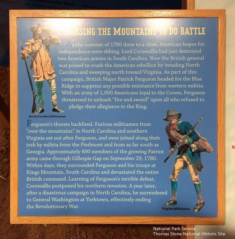
6. Crossing the Mountains to Do Battle exhibit in the adjacent Museum of North Carolina Minerals.
As the summer of 1780 drew to a close, American hopes for independence was ebbing. Lord Cornwallis had just destroyed two American armies in South Carolina. Now the British general was poised to crush the American rebellion by invading North Carolina and sweeping north toward Virginia. As part of this campaign, British Major Patrick Ferguson headed for the Blue Ridge to suppress any possible resistance from western militia. With an army of 1,000 Americans loyal to the Crown, Ferguson threatened to unleash "fire and sword" upon all who refused to pledge allegiance to the King.
Ferguson's threats backfired. Furious militiamen from "over the mountains" in North Carolina and southern Virginia set out after Ferguson, and were joined along their trek by militia from the Piedmont and from as far south as Georgia. Approximately 600 members of the growing Patriot army came through Gillespie Gap on September 29, 1780. Within days, they surrounded Ferguson and his troops at Kings Mountain, South Carolina and devastated the entire British command. Learning of Ferguson's terrible defeat, Cornwallis postponed his northern invasion. A year later, after a disastrous campaign in North Carolina, he surrendered to General Washington at Yorktown, effectively ending the American Revolution.
Credits. This page was last revised on August 30, 2019. It was originally submitted on August 28, 2019. This page has been viewed 354 times since then and 28 times this year. Photos: 1, 2, 3, 4, 5, 6. submitted on August 28, 2019. • Bernard Fisher was the editor who published this page.
