Mount Vernon in Knox County, Ohio — The American Midwest (Great Lakes)
Johnny Appleseed's Early Landholdings
Inscription.
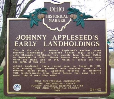
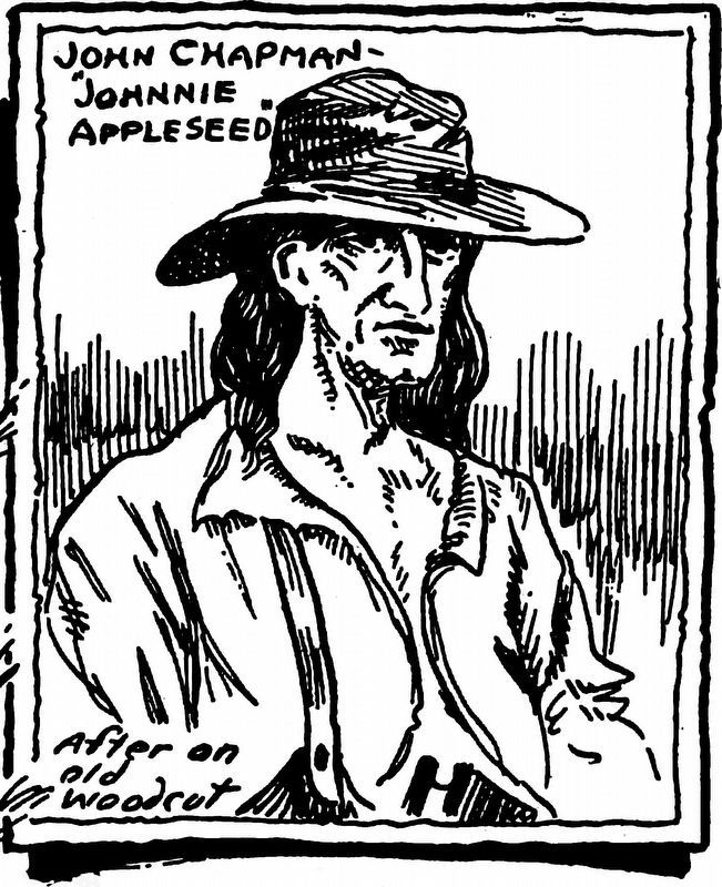
This is the site of Johnny Appleseed's earliest known recorded landholdings. Appleseed (whose legal name was John Chapman) purchased two parcels from Joseph Walker on September 14, 1809: Mount Vernon town lot 147, upon which you stand, and lot 145, which is across the road and north of this site.
Johnny Appleseed likely rested here on August 10, 1813, after arriving from Mansfield with alarming news of a rumored Indian attack. Appleseed returned to Mansfield with reinforcements from Mount Vernon that same day--a round trip of over fifty miles.
Erected 1999 by Ohio Bicentennial Commission, The Longaberger Company, Johnny Appleseed Heritage Center, and The Ohio Historical Society. (Marker Number 4-42.)
Topics and series. This historical marker is listed in these topic lists: Horticulture & Forestry • Settlements & Settlers. In addition, it is included in the Ohio Historical Society / The Ohio History Connection series list. A significant historical month for this entry is September 1924.
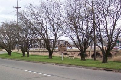
Location. 40° 23.375′ N, 82° 29.171′ W. Marker is in Mount Vernon, Ohio, in Knox County. Marker is at the intersection of Phillips Street and Main Street (Ohio Route 13) when traveling east on Phillips Street. Touch for map. Marker is in this post office area: Mount Vernon OH 43050, United States of America. Touch for directions.
Other nearby markers. At least 8 other markers are within walking distance of this marker. South Main Plaza (about 700 feet away, measured in a direct line); Jane Payne, M.D. (1825-1882) (about 800 feet away); The Snowden Family (approx. 0.2 miles away); Woodward Opera House (approx. 0.2 miles away); Mt. Calvary Baptist Church (approx. ¼ mile away); Mt. Cavalry Baptist Church (approx. ¼ mile away); A Keystone (approx. ¼ mile away); The Cooper Fountain (approx. ¼ mile away). Touch for a list and map of all markers in Mount Vernon.
Related marker. Click here for another marker that is related to this marker. Another Johnny Appleseed marker.
Credits. This page was last revised on December 3, 2022. It was originally submitted on November 26, 2008, by William Fischer, Jr. of Scranton, Pennsylvania. This page has been viewed 1,794 times since then and 69 times this year. Photos: 1, 2. submitted on November 26, 2008, by William Fischer, Jr. of Scranton, Pennsylvania. 3. submitted on November 21, 2022, by Allen C. Browne of Silver Spring, Maryland. • Bill Pfingsten was the editor who published this page.


