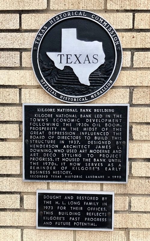
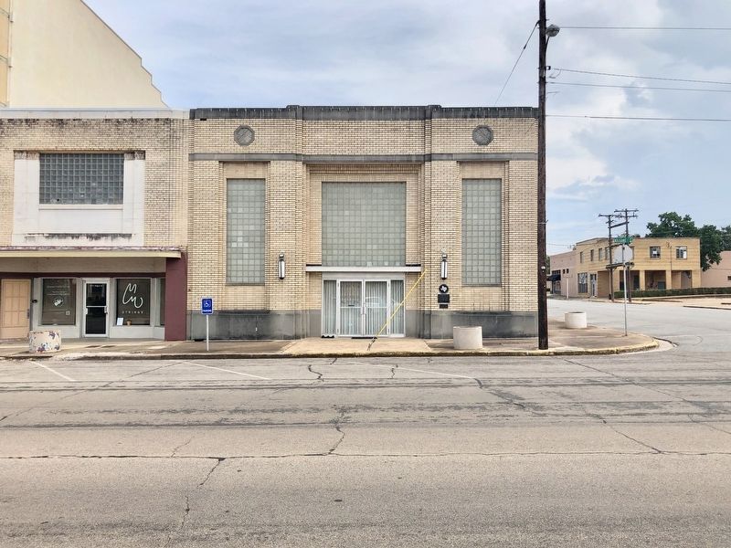
Kilgore National Bank Building
Led in the town's economic development following the 1930s oil boom. Prosperity in the midst of the Great Depression influenced the board of directors to build this structure in 1937. Designed by Henderson architect James L. Downing, who used art moderne and art deco styling to project progress, it housed the bank until the 1970s. It now serves as a reminder of Kilgore's early business history.
[Supplemental plaque]
Bought and restored by the H.L. Long family in 1973 for their offices. This building reflects Kilgore's past progress and future potential.
Erected 1991 by Texas Historical Commission. (Marker Number 9971.)
Topics and series. This historical marker is listed in these topic lists: Architecture • Industry & Commerce • Landmarks. In addition, it is included in the Art Deco series list. A significant historical year for this entry is 1937.
Location. 32° 23.144′ N, 94° 52.583′ W. Marker is in Kilgore, Texas, in Gregg County. Marker is at the intersection of South Kilgore Street and East South Street, on the left when traveling south on South Kilgore Street. Mounted to the wall. Touch for map. Marker is at or near this postal address: 118 South Kilgore Street, Kilgore TX 75662, United States of America. Touch for directions.
Other nearby markers.
Credits. This page was last revised on August 26, 2020. It was originally submitted on September 5, 2019, by Mark Hilton of Montgomery, Alabama. This page has been viewed 204 times since then and 10 times this year. Photos: 1, 2. submitted on September 5, 2019, by Mark Hilton of Montgomery, Alabama.

