Garden Grove in Hernando County, Florida — The American South (South Atlantic)
Garden Grove
Photographed by Tim Fillmon, September 7, 2019
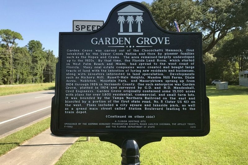
1. Garden Grove Marker-Side 1
Garden Grove was carved out of the Chocochatti Hammock, first inhabited by the Upper Creek Nation and then by pioneer families such as the Hopes and Crums. The area remained largely undeveloped up to the 1920s. By that time, the Florida Land Boom, which started up in West Palm Beach and Miami, had spread to the west coast of Florida. Many real estate companies were created and bought large tracts of land with the intention of luring new residents and businesses, along with investors interested in land speculation. Development such as Hickory Hill, Russell-Hale Heights, Mundon Hill Farms, Dixie Acres, Nobleton, Mountain Park, and Masaryktown sprang up from 1924 through 1926 in Hernando County. One such enterprise was Garden Grove, platted in 1924 and surveyed by G.D. and H.D. Mendenhall, Civil Engineers. Garden Grove originally contained some 13,000 acres with plans for over 1,600 residential, commercial, and small farm lots. It was bounded by the Tampa Northern Railroad on the east and bisected by a portion of the first state road, No. 5 (later US 41) on the west. Plans included a city square and lakeside park,
this page online
Photographed by Tim Fillmon, September 7, 2019
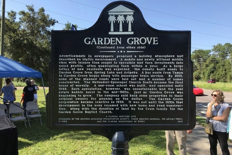
2. Garden Grove Marker-Side 2
Erected 2019 by The Historic Hernando Preservation Society, Roger Carlton Sherman, The Apsley Trust, and the Florida Department of State. (Marker Number F-1052.)
Topics. This historical marker is listed in these topic lists: Railroads & Streetcars • Religion & Religious Structures • Settlements & Settlers. A significant historical year for this entry is 1924.
Location. 28° 28.931′ N, 82° 26.061′ W. Marker is in Garden Grove, Florida, in Hernando County. It is at the intersection of Broad Street (U.S. 41) and Stromberg Avenue, on the right when traveling north on Broad Street. Touch for map. Marker is in this post office area: Brooksville FL 34604, United States of America. Touch for directions.

Regionally, this marker is on the Gulf Coast and on Tampa Bay. It is also in the American South and on the Gulf Coast. Globally, it is in the North Atlantic Region, North America, a Gulf of Mexico state, the Western Hemisphere, the Western World, and the Anglosphere. Historically,
Photographed by Tim Fillmon, September 7, 2019
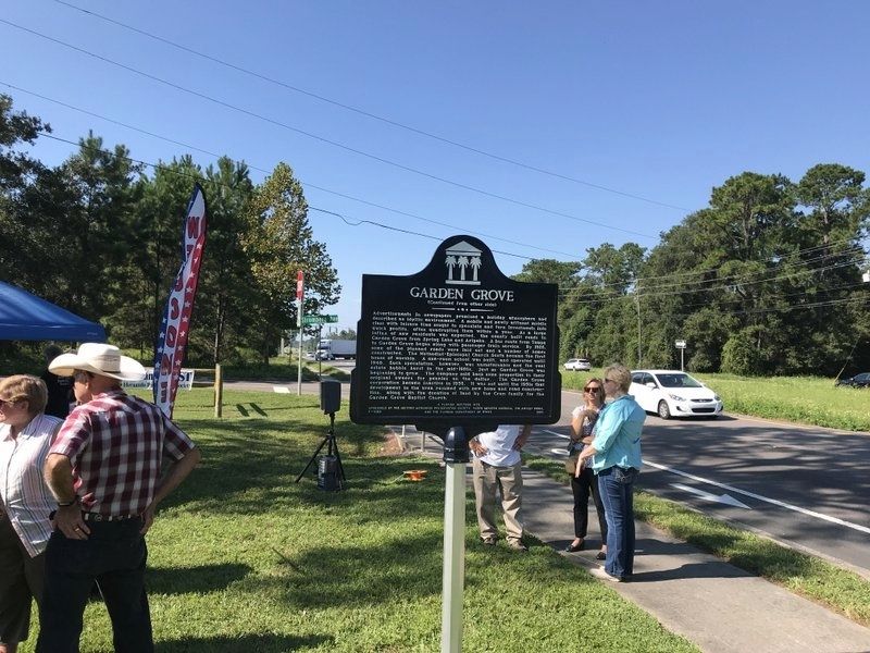
3. Garden Grove Marker looking south on US 41.
Other nearby markers. At least 8 other markers are within 6 miles of this marker, measured as the crow flies: Brooksville Army Airfield Gunnery Backstop (approx. 2 miles away); Masaryktown (approx. 3.1 miles away); St. Anthony the Abbot Church (approx. 4.6 miles away); 1885 Train Depot (approx. 5½ miles away); Historic Sidewalk (approx. 5½ miles away); Chocochatti (approx. 5.6 miles away); Hernando County Confederate Monument (approx. 5.8 miles away); Hernando County (approx. 5.8 miles away).
More about this marker. Marker was dedicated on September 7, 2019
Photographed by Tim Fillmon, September 7, 2019
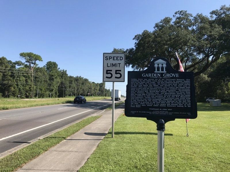
4. Garden Grove Marker looking north on US 41.
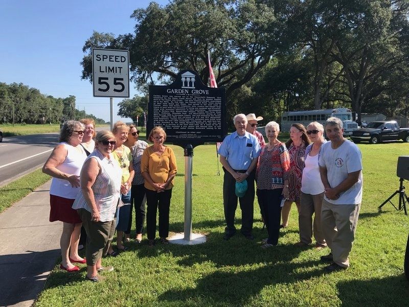
Photographed by Tim Fillmon, September 7, 2019
5. Garden Grove Marker and group at dedication.
Credits. This page was last revised on September 8, 2019. It was originally submitted on September 7, 2019, by Tim Fillmon of Webster, Florida. This page has been viewed 1,137 times since then and 83 times this year. Photos: 1, 2, 3, 4, 5. submitted on September 7, 2019, by Tim Fillmon of Webster, Florida. • Bernard Fisher was the editor who published this page.
