Toms River in Ocean County, New Jersey — The American Northeast (Mid-Atlantic)
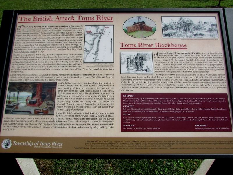
The British Attack Toms River
Toms River Blockhouse
Nonetheless, some people who were still loyal to the British crown and its mighty army would not accept defeat. One of these Loyalists was New Jersey’s former Colonial Governor William Franklin (Benjamin Franklin’s son). Operating from British-controlled New York City, Franklin implemented a vicious strategy. He sought revenge on Patriots who had imprisoned him during the war, including the people of Dover Township (now known as Toms River Township), which Franklin helped to establish in 1767.
Franklin arranged for the British ship, the HMS Arrogant, to sail from New York Harbor along the Atlantic Coast to Cranberry Inlet (an opening on the barrier island, closed by a storm in1812, that was between present-day Ortley Beach and Seaside Heights). With British soldiers and sailors following in small boats, the brig entered the inlet undetected and anchored in Barnegat Bay at Coates Point near the mouth of the Toms River. Eighty men disembarked before dawn on Sunday, March 24, 1782, and marched west toward the tiny village of Toms River. Forty Loyalists joined them along the way.
Garret Irons, the civilian Patriot lookout at the nearby Pennsylvania Salt Works, spotted the British. Irons ran seven miles into the village to warn the militiamen at the blockhouse that an attack was coming. The militiamen fired the signal cannon to alert the village and other posts within its range.
As the British marched toward the village, they shot three Patriot lookouts and split their men into two groups: one unit breaking off in a northwesterly direction and the other continuing due west. Upon arriving in Toms River, British Lieutenant Cornelius Blanchard demanded that the militiamen at the blockhouse surrender. Captain Joshua Huddy, the militia officer in command, refused to submit despite being outnumbered nearly 5-to-1. Instead, Huddy shouted, “Come and take it!” Surrounded by the enemy, the twenty-five men in the blockhouse soon exhausted their limited supply of gunpowder.
During the brief and brutal attack that day, nine American Patriots were killed and two were seriously wounded. Those militiamen who escaped were hunted down and taken prisoner. The marauders torched the blockhouse and burned down all but two buildings in the village, leaving residents homeless. The British and Loyalists’ desire
for revenge was also evident in the capture of civilian Patriots Garret Irons and Bartholomew Applegate. The two men were set adrift in a boat without oars or sails. Eventually, they removed boards from the boat and survived by safely paddling to the nearby shore.
Toms River Blockhouse
American independence was declared in 1776. One year later, Patriots built a simple fort on top of a hill overlooking the harbor in Toms River. The blockhouse was designed to protect the tiny village on the river and its valuable privateer seaport. The fort would also defend the nearby Pennsylvania Salt Works located on Barnegat Bay in Shelter Cove, about seven miles east of the village. The salt works produced 90% of the salt needed to make gunpowder and preserve meat for the Continental Army. The blockhouse was manned by rotating companies of volunteers. Militiamen from across the county were assigned to the blockhouse throughout the duration of the Revolutionary War.
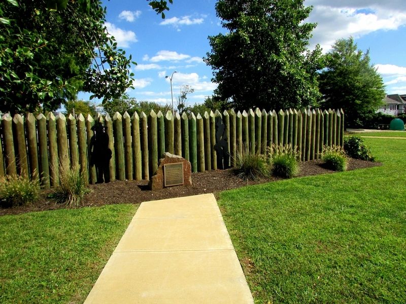
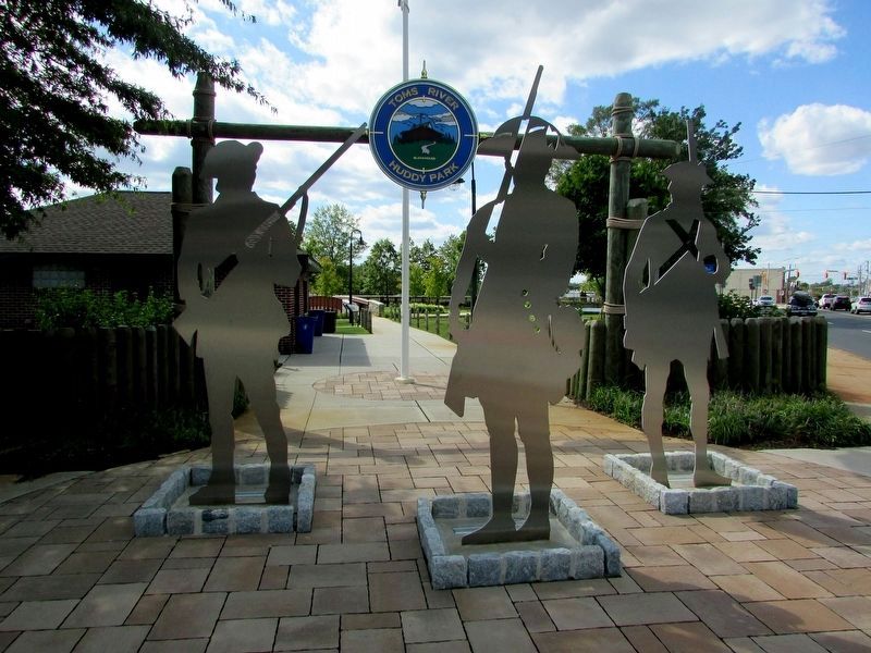
The original site of the blockhouse was on the hill across Water Street, north of Huddy Park, near the current Town Hall. This site provided the best vantage point to “block” British sailing vessels from attacking the town by way of Barnegat Bay and Toms River. The wooden stockade in this park offers a visual conception of what the blockhouse looked like: a nearly square structure built from seven-foot high palisades of rough-hewn logs, each sharpened to a point at its top. Entry and exit was limited to ladders. Each of its four corners had a platform mounted with a small swivel cannon. Inside were two structures: a log cabin barracks for the militiamen and a roofed cellar for gunpowder and weapons.
CAPTURED**
Capt. Joshua Huddy, Sgt. David Landon, Matross William Case, Matross James Edsall, Matross James Mitchell, Matross John Mitchell, Matross George Parker, Matross Jacob Stillwagon, Civ. Bartholomew Applegate, Civ. Jacob Fleming, Civ. Joseph Hendrickson, Civ. Garret Irons, Sgt. James Johnson, Civ. Jonathon Parmer, Civ. John Pillman, Squire Daniel Randolph.
ESCAPED**
Sgt. Luke Storey, Matross Daniel Applegate, Matross John Eldridge, Matross John Morris, Matross John Niverson, Matross John Parker, Matross Joseph Parker, Matross John Wilbur, Civ. Bartholomew Applegate, Civ. Garret Irons.
KILLED**
Capt. Joshua Huddy hanged without trial – April 12, 1782, Matross David Dodge, Matross John Farr, Matross James Kennedy, Matross James Kinsley, Matross Cornelius McDonald, Matross Thomas Rostoinder, Matross John Wainwright, Major John Cook, Capt. Ephraim Jenkins.
WOUNDED**
Matross Moses Robbins, Sgt. James Johnson.
UNKNOWN**
Matross John Pellmore, Capt. David Imlay.
Erected 2019 by Township of Toms River Historic Preservation Commission.
Topics. This historical marker is listed in this topic list: War, US Revolutionary. A significant historical date for this entry is March 24, 1782.
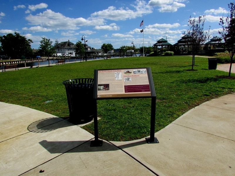
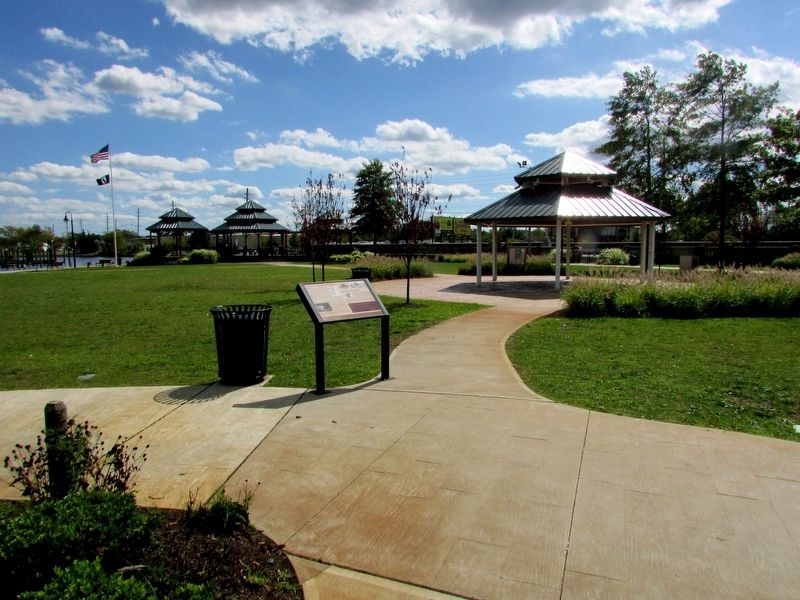
Location. 39° 57.062′ N, 74° 11.9′ W. Marker is in Toms River, New Jersey, in Ocean County. Marker is on East Water Street, on the right when traveling east. Marker is located in Huddy Park. Touch for map. Marker is at or near this postal address: 20 East Water Street, Toms River NJ 08753, United States of America. Touch for directions.
Other nearby markers. At least 8 other markers are within walking distance of this marker. Huddy’s Hanging Stalls Peace Talks (within shouting distance of this marker); Captain Joshua Huddy (within shouting distance of this marker); Toms River Township’s First Park (within shouting distance of this marker); Toms River Block House (within shouting distance of this marker); Welcome to Joshua Huddy Park (within shouting distance of this marker); Historic Site (within shouting distance of this marker); a different marker also named Captain Joshua Huddy (within shouting distance of this marker); Toms River Blockhouse Fight (within shouting distance of this marker). Touch for a list and map of all markers in Toms River.
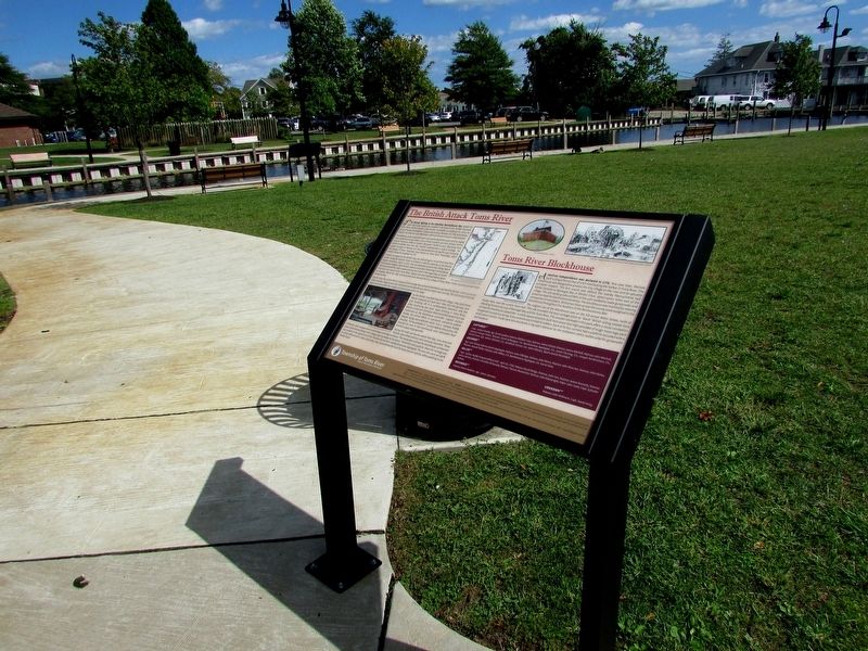
More about this marker. A map at the top of the marker shows the path that the Loyalists and British followed from Cranberry Inlet to Toms River Blockhouse, and the HMS Arrogant brig anchored in Barnegat Bay.
Elsewhere on the marker are pictures of the Pennsylvania Salt Works at Shelter Cove; Huddy with militiamen; The Toms River Blockhouse; and Toms River Village showing the Blockhouse on the hill above the harbor.
Credits. This page was last revised on January 30, 2021. It was originally submitted on September 7, 2019, by Bill Coughlin of Woodland Park, New Jersey. This page has been viewed 731 times since then and 60 times this year. Photos: 1, 2, 3, 4, 5, 6. submitted on September 7, 2019, by Bill Coughlin of Woodland Park, New Jersey.
