Near Loleta in Humboldt County, California — The American West (Pacific Coastal)
Historic Hunting on the, Refuge and Humboldt Bay
Inscription.
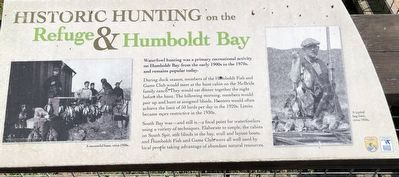
Waterfowl hunting was a primary recreational activity on Humboldt Bay from the early 1900s to the 1970s, and remains popular today.
During the duck season, members of the Humboldt Fish and Game Club would meet at the hunt cabin on the McBride family ranch. They would eat dinner together the night before the hunt. The following morning, members would pair up and hunt at assigned blinds. Hunters would often achieve the limit of 50 birds per day in the 1920s. Limits became more restrictive in the 1930s.
South Bay was - and still is - a focal point for waterfowlers using a variety of techniques. Elaborate to simple, cabins on South Spit, stilt blinds in the bay, scull and layout boats, and Humboldt Fish and Game Club were all well used by local people taking advantage of abundant natural resources.
Erected by U.S. Fish & Wildlife Service and National Wildlife Refuge System.
Topics. This historical marker is listed in this topic list: Sports.
Location. 40° 41.173′ N, 124° 12.429′ W. Marker is near Loleta, California, in Humboldt County. Marker can be reached from Eel River Drive near Hookton Road. Touch for map. Marker is in this post office area: Loleta CA 95551, United States of America. Touch for directions.
Other nearby markers. At least 8 other markers are within 7 miles of this marker, measured as the crow flies. Early Agricultural Use of the Bottomlands (here, next to this marker); History of the McBride Ranch (a few steps from this marker); Fields Landing Hotel (approx. 2.7 miles away); Bank of Loleta (approx. 3.3 miles away); Harold G Larsen (approx. 4.1 miles away); Humboldt Harbor Historical District (approx. 4.1 miles away); Fernbridge (approx. 4.9 miles away); Fort Humboldt (approx. 6.4 miles away). Touch for a list and map of all markers in Loleta.
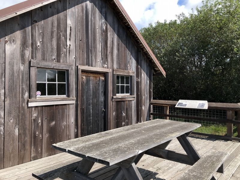
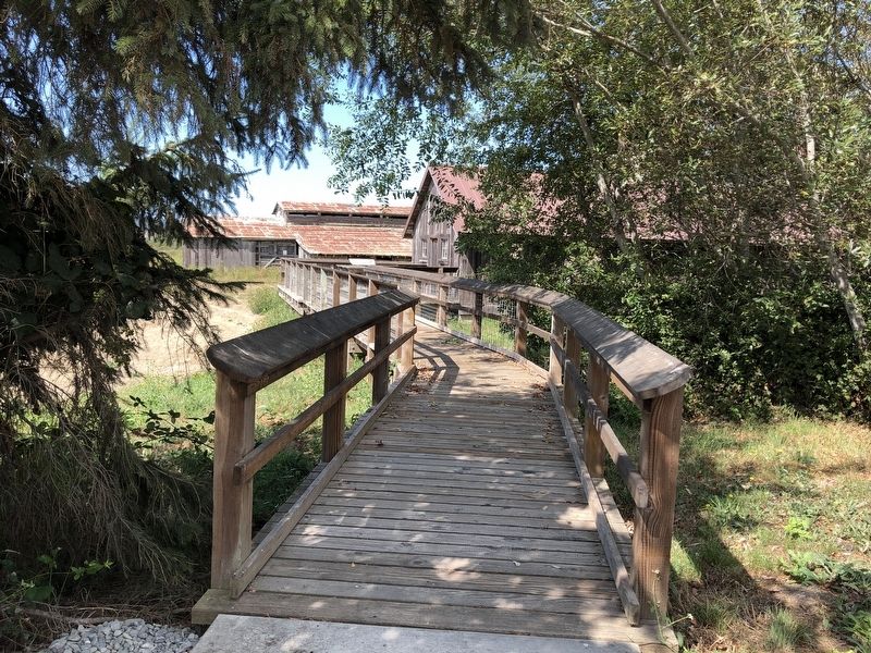
More about this marker. This marker is located a the McBride Ranch near the Humboldt Bay Wildlife Refuge Visitors Center.
Credits. This page was last revised on September 14, 2019. It was originally submitted on September 14, 2019, by Barry Swackhamer of Brentwood, California. This page has been viewed 259 times since then and 39 times this year. Photos: 1, 2, 3. submitted on September 14, 2019, by Barry Swackhamer of Brentwood, California.


