Cocagne in Kent County, New Brunswick — The Atlantic Provinces (North America)
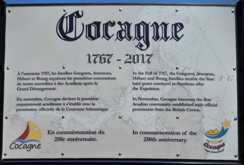
Cocagne
1767-2017
À l'automne 1767, les familles Gueguen, Arseneau, Hébert et Bourg reçoivent les premières concessions de terres accordées à des Acadiens après le Grand Dérangement.
En novembre, Cocagne devient la première communauté acadienne à s'établir avec la permission officielle de la Couronne britannique.
En commémoration du 250e anniversaire.
In the Fall of 1767, the Gueguen, Arseneau, Hébert and Bourg families receive the first land grant conveyed to Acadians after the Expulsion.
In November, Cocagne becomes the first Acadian community established with official permission from the British Crown.
In commemoration of the 250th anniversary.
Erected 2017.
Topics and series. This historical marker is listed in this topic list: Settlements & Settlers. In addition, it is included in the Acadian History series list. A significant historical year for this entry is 1767.
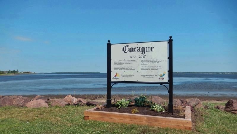
Location. 46° 20.136′ N, 64° 36.923′ W. Marker is in Cocagne, New Brunswick, in Kent County. Marker is on New Brunswick Route 134 just north of Chemin Lovers Lane, on the right when traveling north. Marker is located in a small wayside park on the east side of the highway. Touch for map. Marker is in this post office area: Cocagne NB E4R, Canada. Touch for directions.
Other nearby markers. At least 6 other markers are within 18 kilometers of this marker, measured as the crow flies. Louis J. Robichaud (approx. 11.1 kilometers away); The Honorable Daniel Lionel Hanington (approx. 13.8 kilometers away); Men of Letters (approx. 13.8 kilometers away); Edward Richard McDonald (approx. 13.8 kilometers away); K.C. Irving (approx. 17.4 kilometers away); a different marker also named K.C. Irving (approx. 17.4 kilometers away).
Also see . . . 1767 ~ The First Settlers. Arriving in this place was not exactly a first experience for these pioneering families. In a futile attempt to seek out a safe haven during the Deportation of 1755, these same ancestors had travelled with other Acadian families toward northern New Brunswick and along the way found temporary shelter in this place which had become a refugee center. What irony that a dozen years later these same families would become the pioneers of Cocagne! (Submitted on September 20, 2019, by Cosmos Mariner of Cape Canaveral, Florida.)
Credits. This page was last revised on September 20, 2019. It was originally submitted on September 18, 2019, by Cosmos Mariner of Cape Canaveral, Florida. This page has been viewed 499 times since then and 61 times this year. Photos: 1, 2. submitted on September 20, 2019, by Cosmos Mariner of Cape Canaveral, Florida.

