Rolla in Phelps County, Missouri — The American Midwest (Upper Plains)
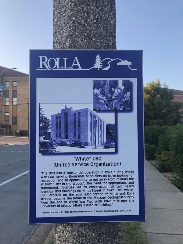
"White" USO
(United Service Organization)
— Rolla —
"The USO had a substantial operation in Rolla during World War Two, serving thousands of soldiers on leave looking for recreation and an opportunity to get away from military life at Fort "Lost-in-the-Woods". The need for appropriate, and segregated, facilities led to the construction of two nearly identical USO buildings on Ninth Street in 1942. The "white" USO, erected on the southeast corner of Ninth and Rolla streets, became the home of the Missouri Geological Survey from the end of World War Two until 1962. It is now the University of Missouri-Rolla's Buehler Building."
John F. Bradbury, Jr., Rolla The Old Town (St. Louis: G. Bradley Publishing, Inc., 2002), p. 60
Topics. This historical marker is listed in these topic lists: Entertainment • Military • War, World II. A significant historical year for this entry is 1942.
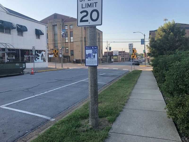
Location. 37° 57.061′ N, 91° 46.358′ W. Marker is in Rolla, Missouri, in Phelps County. Marker is on North Rolla Street just south of West 10th Street (Missouri Highway BB), on the right when traveling south. Touch for map. Marker is at or near this postal address: 903 North Rolla, Rolla MO 65401, United States of America. Touch for directions.
Other nearby markers. At least 8 other markers are within walking distance of this marker. Pine Street and Downtown Rolla (about 400 feet away, measured in a direct line); "Black" USO (about 400 feet away); Scott's Drugs (about 500 feet away); Grant Hotel (about 500 feet away); Hotel Edwin Long (about 500 feet away); Rollamo Theater (about 500 feet away); "Whiskey Row" (about 500 feet away); National Bank (about 600 feet away). Touch for a list and map of all markers in Rolla.
Additional keywords. segregation; Jim Crow era
Credits. This page was last revised on March 30, 2022. It was originally submitted on September 18, 2019, by Devry Becker Jones of Washington, District of Columbia. This page has been viewed 263 times since then and 46 times this year. Photos: 1, 2. submitted on September 18, 2019, by Devry Becker Jones of Washington, District of Columbia.

