Lafayette Square in St. Louis, Missouri — The American Midwest (Upper Plains)
Welcome to Lafayette Square!
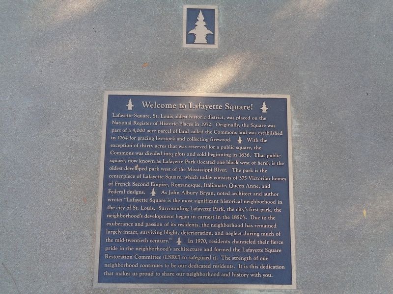
Photographed by Jason Voigt, September 18, 2019
1. Welcome to Lafayette Square! Marker
this page online
Topics. This historical marker is listed in this topic list: Settlements & Settlers.
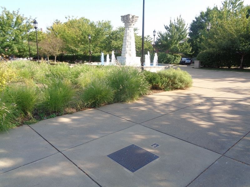
Location. 38° 37.009′ N, 90° 12.717′ W. Marker is in St. Louis, Missouri. It is in Lafayette Square. It is on Park Avenue, on the right when traveling east. It is a sidewalk plaque on the Lafayette Square Plaza, near the fountain. Touch for map. Marker is at or near this postal address: 1804 Park Avenue, Saint Louis MO 63104, United States of America. Touch for directions.

Regionally, this marker is in the American Midwest, in the Lewis & Clark Corridor, in the Corn Belt, and in the Great River Road Region. Globally, it is in North America, the Western Hemisphere, the Western World, and the Anglosphere. Historically, it finds itself in
Photographed by Jason Voigt, September 18, 2019
2. Welcome to Lafayette Square! Marker
Sidewalk plaque on the plaza
Other nearby markers. At least 8 other markers are within walking distance of this marker: Lafayette Square (within shouting distance of this marker); Dolman Row (about 700 feet away, measured in a direct line); The Grotto Bridge (approx. 0.2 miles away); The Old Police Station / Park House in Lafayette Park (approx. ¼ mile away); These Guns are from the British Man Of War (approx. ¼ mile away); Senator Thomas Hart Benton, 1782-1858 (approx. ¼ mile away); 1876 Lafayette Park Music Pavilion (approx. ¼ mile away); George Washington Statue (approx. ¼ mile away). Touch for a list and map of all markers in St. Louis.
More about this marker. It is not known when this marker was placed, or the organization behind it.
Credits. This page was last revised on January 30, 2023. It was originally submitted on September 20, 2019, by Jason Voigt of Glen Carbon, Illinois. This page has been viewed 635 times since then and 29 times this year. Photos: 1, 2. submitted on September 20, 2019, by Jason Voigt of Glen Carbon, Illinois. • Bill Pfingsten was the editor who published this page.
