Fort Belvoir in Fairfax County, Virginia — The American South (Mid-Atlantic)
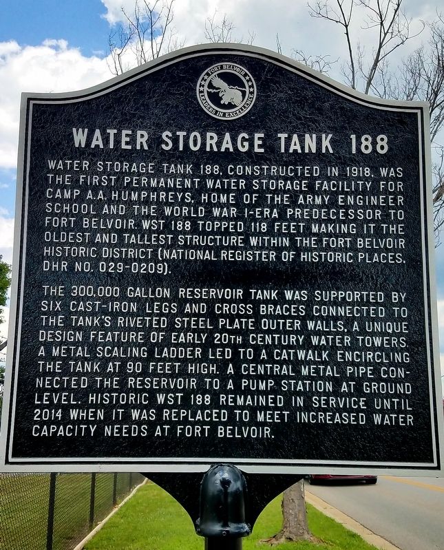
Water Storage Tank 188
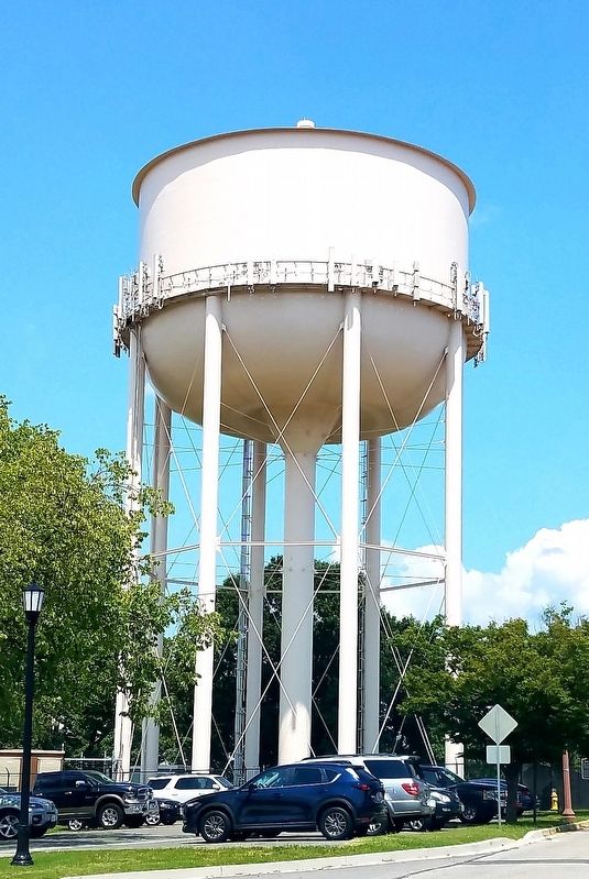
The 300,000 gallon reservoir tank was supported by six cast-iron legs and cross-braces connected to the tank’s riveted steel-plate outer walls, a unique design feature of early 20th Century water towers. A metal scaling ladder led to a catwalk encircling the tank at 90 feet hight. A central metal pipe connected the reservoir to a pump station at ground level. Historic WST 188 remained in service until 2014 when it was replaced to meet increased water capacity at Fort Belvoir.
Erected by Fort Belvoir Historic District.
Topics. This historical marker is listed in these topic lists: Architecture • Military. A significant historical year for this entry is 1918.
Location. 38° 41.575′ N, 77° 8.453′ W. Marker is in Fort Belvoir, Virginia, in Fairfax County. Marker is on 16th Street east of Gunston Road, on the left when traveling east. Touch for map. Marker is in this post office area: Fort Belvoir VA 22060, United States of America. Touch for directions.
Other nearby markers. At least 8 other markers are within walking distance of this marker. Warehouse District (about 600 feet away, measured in a direct line); Treasury Building Column Sections (approx. 0.2 miles away); Non Commissioned Officers’ Service Club (approx. ¼ mile away); Gerber Village (approx. 0.3 miles away); Park Village (approx. 0.4 miles away); Pohick Road Crossing (approx. 0.4 miles away); Long Parade Ground (approx. 0.4 miles away); Fort Belvoir Military Railroad Historic Corridor (approx. 0.4 miles away). Touch for a list and map of all markers in Fort Belvoir.
Credits. This page was last revised on June 23, 2021. It was originally submitted on September 27, 2019, by J. J. Prats of Powell, Ohio. This page has been viewed 213 times since then and 9 times this year. Photos: 1, 2. submitted on September 27, 2019, by J. J. Prats of Powell, Ohio.

