Independence in Jackson County, Missouri — The American Midwest (Upper Plains)
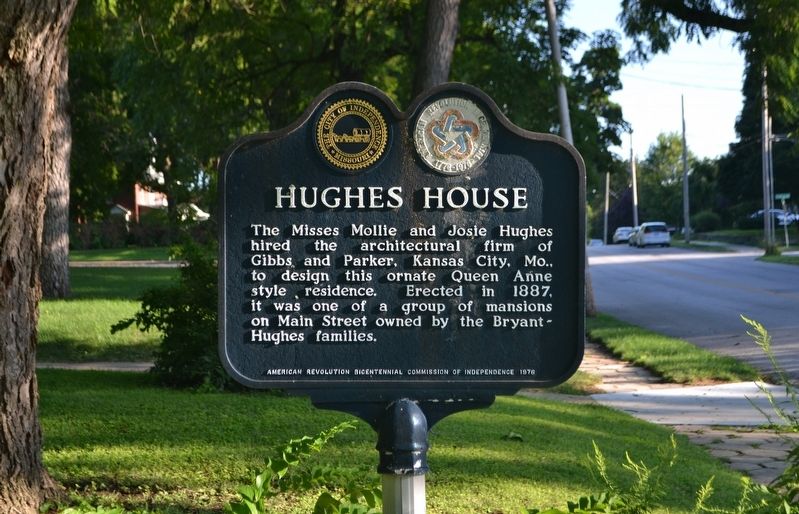
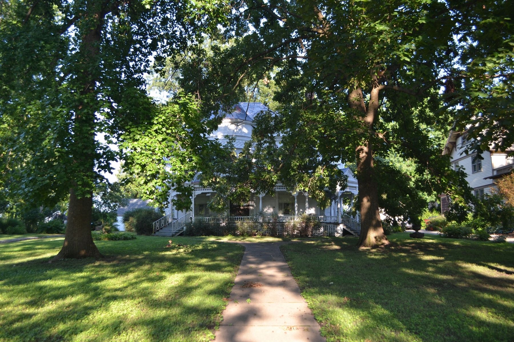
Hughes House
Erected 1976 by American Revolution Bicentennial Commission of Independence.
Topics and series. This historical marker is listed in this topic list: Architecture. In addition, it is included in the The Spirit of ’76, America’s Bicentennial Celebration series list. A significant historical year for this entry is 1976.
Location. 39° 5.031′ N, 94° 24.912′ W. Marker is in Independence, Missouri, in Jackson County. Marker is at the intersection of South Main Street and West Linden Avenue, on the right when traveling north on South Main Street. This marker is 27 feet south of West Linden Avenue on the east side of Main Street. Main Street is the dividing line between West and East Linden Avenue. Touch for map. Marker is at or near this postal address: 801 South Main Street, Independence MO 64055, United States of America. Touch for directions.
Other nearby markers. At least 8 other markers are within walking distance of this marker. Bess Truman Birthplace (about 700 feet away, measured in a direct line); World War I Memorial (approx. 0.2 miles away); Woodlawn Cemetery Confederate Memorial (approx. 0.2 miles away); Bryant House (approx. ¼ mile away); Lewis-Bingham-Waggoner Estate (approx. ¼ mile away); Kritser House (approx. 0.4 miles away); 1827 Log Courthouse (approx. half a mile away); Overfelt-Johnston House (approx. half a mile away). Touch for a list and map of all markers in Independence.
Credits. This page was last revised on October 3, 2019. It was originally submitted on October 1, 2019, by Michael E Sanchez, Jr. of Kansas City, Missouri. This page has been viewed 660 times since then and 134 times this year. Photos: 1, 2. submitted on October 1, 2019, by Michael E Sanchez, Jr. of Kansas City, Missouri. • Andrew Ruppenstein was the editor who published this page.

