Auburn in Nemaha County, Nebraska — The American Midwest (Upper Plains)
Nemaha County Courthouse

Photographed by Michael E Sanchez, Jr., July 6, 2017
1. Nemaha County Courthouse Marker
The Nemaha county seat was established at Brownville in March 1855 by the first territorial legislature. Brownville retained the county seat until an 1883 election approved its removal to Auburn, a town formed in 1882 by the merger of the adjacent villages of Sheridan and Calvert. The first courthouse in Auburn was a frame structure at this site. Which soon proved inadequate. A series of elections culminated in 1899 with approval of $40,000 in bonds to build a new courthouse.
That same year the county commissioners accepted a design by Nebraska architect George A. Berlinghof and construction began. Stone was quarried about five miles west of Auburn and brick was produced by a local brickyard. The cornerstone was laid on May 25, 1900, in a ceremony featuring former Nebraska Governor Robert W. Furnas. County offices moved into the new courthouse in December 1900.
The symmetrical building with two main entrances, executed in the Richardsonian Romanesque style, features corner towers, permanent materials, elaborate ornamentation, and reflects permanence and stability. In 1990 the Nemaha County Courthouse was listed in the
this page online
Erected 2010 by Nebraska State Historical Society. (Marker Number 477.)
Topics and series. This historical marker is listed in these topic lists: Architecture • Government & Politics. In addition, it is included in the Nebraska State Historical Society series list. A significant historical month for this entry is March 1855.
Location. 40° 23.109′ N, 95° 50.65′ W. Marker is in Auburn, Nebraska, in Nemaha County. It is at the intersection of North Street and 19th Street, on the right when traveling south on North Street. Touch for map. Marker is at or near this postal address: 1824 North St, Auburn NE 68305, United States of America. Touch for directions.

Regionally, this marker is in Eastern Nebraska. It is also in the American Midwest, in the Lewis & Clark Corridor, in the Corn Belt, and on the prairies. Globally, it is in North America, the Western Hemisphere, the Western World, and the Anglosphere. Historically, it finds itself in what was once the Louisiana Purchase.
Other nearby markers. At least 8 other markers are within 9 miles of this marker, measured as the crow flies: First Presbyterian Church
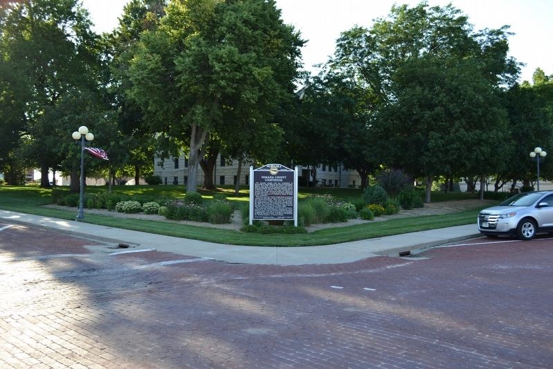
Photographed by Michael E Sanchez, Jr., July 6, 2017
2. Nemaha County Courthouse Marker
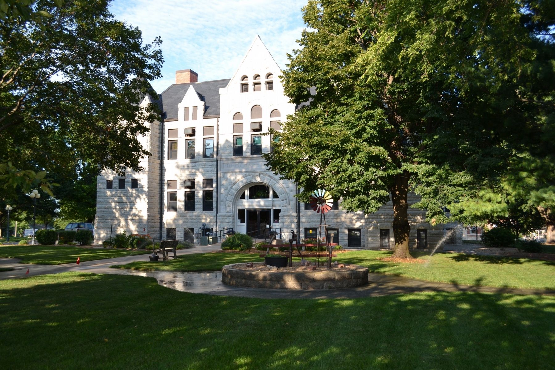
Photographed by Michael E Sanchez, Jr., July 6, 2017
3. Nemaha County Courthouse
Credits. This page was last revised on August 29, 2024. It was originally submitted on October 1, 2019, by Michael E Sanchez, Jr. of Kansas City, Missouri. This page has been viewed 399 times since then and 36 times this year. Photos: 1, 2, 3. submitted on October 2, 2019, by Michael E Sanchez, Jr. of Kansas City, Missouri. • Andrew Ruppenstein was the editor who published this page.
