Near Slingerlands in Albany County, New York — The American Northeast (Mid-Atlantic)
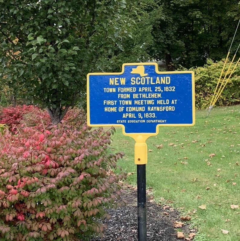
New Scotland
Town formed April 25, 1832
from Bethlehem.
First town meeting held at
home of Edmund Raynsford
April 9, 1833.
Erected by State Education Department.
Topics. This historical marker is listed in this topic list: Settlements & Settlers. A significant historical date for this entry is April 25, 1832.
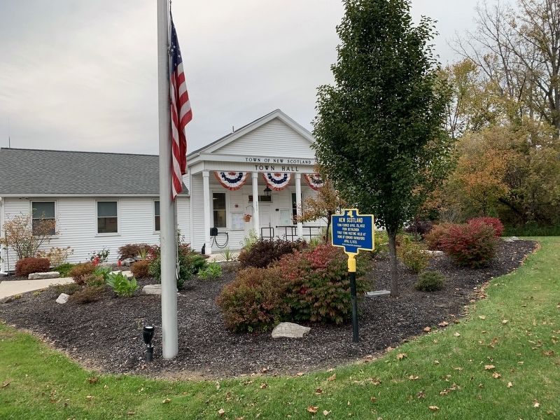
Location. 42° 37.869′ N, 73° 54.462′ W. Marker is near Slingerlands, New York, in Albany County. Marker is at the intersection of New Scotland Road (New York State Route 85) and S Road, on the left when traveling east on New Scotland Road. Located in front of New Scotland Town Hall. Touch for map. Marker is at or near this postal address: 2029 New Scotland Road, Slingerlands NY 12159, United States of America. Touch for directions.
Other nearby markers. At least 8 other markers are within 2 miles of this marker, measured as the crow flies. Early Mission (about 400 feet away, measured in a direct line); New Scotland Church (about 400 feet away); Bender Melons (approx. half a mile away); Hotaling / Pound House (approx. 0.6 miles away); New Scotland War Memorial (approx. 1.2 miles away); Matthew Bullock (approx. 1.2 miles away); Burial Site of Soldiers of the Revolutionary War (approx. 1˝ miles away); Slingerlands National Historic District (approx. 1.6 miles away). Touch for a list and map of all markers in Slingerlands.
Also see . . . New Scotland, New York (Wikipedia). (Submitted on October 12, 2019, by Steve Stoessel of Niskayuna, New York.)
Credits. This page was last revised on October 12, 2019. It was originally submitted on October 11, 2019, by Steve Stoessel of Niskayuna, New York. This page has been viewed 238 times since then and 14 times this year. Photos: 1, 2. submitted on October 11, 2019, by Steve Stoessel of Niskayuna, New York. • Michael Herrick was the editor who published this page.

