Der Königsbau
-
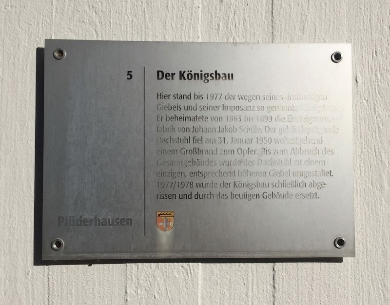
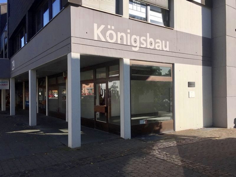
Until 1977 here stood, because of its three-pronged gable and its imposing appearance, the so-called "Königsbau" (literally, "royal building"). From 1863 to 1899 it housed the egg pasta factory of Johann Jakob Schüle. On January 31, 1950, the building fell victim to a major fire, with its building-defining attic collapsing. Until the demolition of the entire building, the attic was transformed into a single, correspondingly higher floor. In 1977-78, the Königsbau was finally demolished and replaced by the present building. (Marker Number 5.)
Topics. This historical marker is listed
Location. 48° 47.684′ N, 9° 36.116′ E. Marker is in Plüderhausen, Baden-Württemberg, in Rems-Murr-Kreis. Marker is on Hauptstraße, on the right when traveling east. Hauptstraße 25. Touch for map. Marker is at or near this postal address: Hauptstraße 25, Plüderhausen BW 73655, Germany. Touch for directions.
Other nearby markers. At least 8 other markers are within 6 kilometers of this marker, measured as the crow flies. Der Friedhof / The Cemetery (about 210 meters away, measured in a direct line); Das Alte Rathaus / Old City Hall (about 210 meters away); The Third School in Plüderhausen / Das 3. Schulhaus in Plüderhausen (approx. 0.2 kilometers away); Jakob Friedrich Abel (approx. 5.5 kilometers away); Birthplace of Gottlieb Daimler (approx. 5.6 kilometers away); Anna Barbara Künkelin (approx. 5.6 kilometers away); Haus am Gumpbrunnen / House at the Gump Well (approx. 5.8 kilometers away); Gefängnis Rathaus / Jail, City Hall (approx. 6.4 kilometers away). Touch for a list and map of all markers in Plüderhausen.
Credits. This page was last revised on January 28, 2022. It was originally submitted on October 16, 2019, by Andrew Ruppenstein of Lamorinda, California. This page has been viewed 198 times since then and 12 times this year. Photos: 1, 2, 3. submitted on October 16, 2019, by Andrew Ruppenstein of Lamorinda, California.


