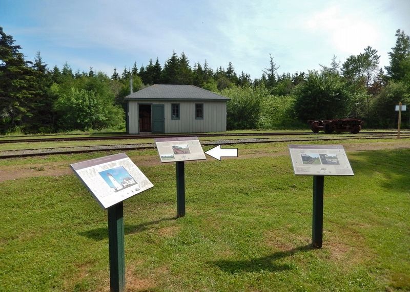
Elmira in Kings County, Prince Edward Island — The Atlantic Provinces (North America)
Elmira
The End of the Line / La Fin de la Ligne Ferroviaire
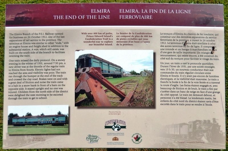
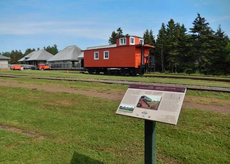
The Elmira Branch of the P.E.I. Railway opened for business on 26 October 1912, one of the last expansions of rail service in the province. The terminus at Elmira was similar to other "ends," with an engine house and freight shed in addition to the substantial station. A wye, which still exists, was built on the south side of the branch to facilitate reversing the train.
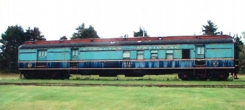
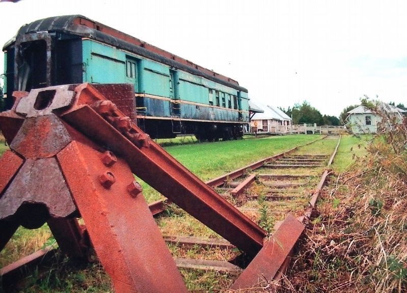
One train missed the daily protocol. On a snowy evening in the winter of 1931, around 7:50 pm, a new driver was at the throttle of the regular train to Elmira from Souris. Electric lights had not reached the area and visibility was poor. The train ran through the bumper at the end of the track and crossed the clay road. Brakes were on and with a great deal of friction and noise the train came to a halt in a snow bank in front of a barn on the opposite side. It stayed upright and no one was injured. Children from the north side of the district were delighted the next morning to be escorted through the train to get to school.
With over 400 km of paths, Prince Edward Island’s Confederation Trail is a wonderful way to explore our beautiful Island.
Le tronçon d'Elmira du chemin de fer insulaire, qui constitue une des dernières expansions du service ferroviaire de la province, a ouvert le 26 octobre 1912. Le terminus d'Elmira était similaire à celui des autres terminus de fin de ligne. Il comprenait une rotonde et un hangar à marchandises en plus d'une gare de taille importante. Un triangle de retournement, qui existe encore, a été construit du côté sud du tronçon pour faciliter le virage du train.
Un jour, un train a raté le protocole quotidien. Durant l'hiver de 1931, par une soirée enneigée, vers 19 h 50, un nouveau conducteur était aux commandes du train régulier circulant entre Elmira et Souris. Il n'y avait pas encore de lumières électriques, et la visibilité était mauvaise. Le train a franchi la butée à la fin de la voie ferrée et a traversé la route d'argile. Les freins étaient engagés et, avec beaucoup de friction et de bruit, le train a fini par s'arrêter dans un banc de neige en face d'une grange du côté opposé. Le train est demeuré debout, et personne n'a été blessé. Le lendemain matin, les enfants du côté nord du district étaient ravis d'être escortés dans le train pour se rendre à l'école.
Le Sentier de la Confédération est composé de plus de 400 km de pistes cyclables qui vous mèneront d'un bout à l'autre de la province.
Erected by Prince Edward Island Museum & Heritage, Trans Canada Trail and Confederation Trail.
Topics. This historical marker is listed in this topic list: Railroads & Streetcars. A significant historical date for this entry is October 26, 1912.
Location. 46° 26.393′ N, 62° 3.987′ W. Marker is in Elmira, Prince Edward Island, in Kings County. Marker can be reached from Elmira Road, 1.6 kilometers south of Northside Road (Prince Edward Island Route 16), on the right when traveling south. Marker is located along the Confederation Trail, about 100 yards west of Elmira Road, near the Elmira Railway Museum. Touch for map. Marker is at or near this postal address: 457 Elmira Road, Elmira PE C0A 1K0, Canada. Touch for directions.
Other nearby markers. At least 3 other markers are within 8 kilometers of this marker, measured as the crow flies. Elmira Railway Museum / Musée ferroviaire d’Elmira (here, next to this marker); East Point (here, next to this marker); The Original Fog Alarm Building (approx. 7.4 kilometers away).
Credits. This page was last revised on October 29, 2020. It was originally submitted on October 17, 2019, by Cosmos Mariner of Cape Canaveral, Florida. This page has been viewed 153 times since then and 13 times this year. Photos: 1, 2, 3, 4, 5. submitted on October 17, 2019, by Cosmos Mariner of Cape Canaveral, Florida.
