North Franklin in New London County, Connecticut — The American Northeast (New England)
Franklin
( back )
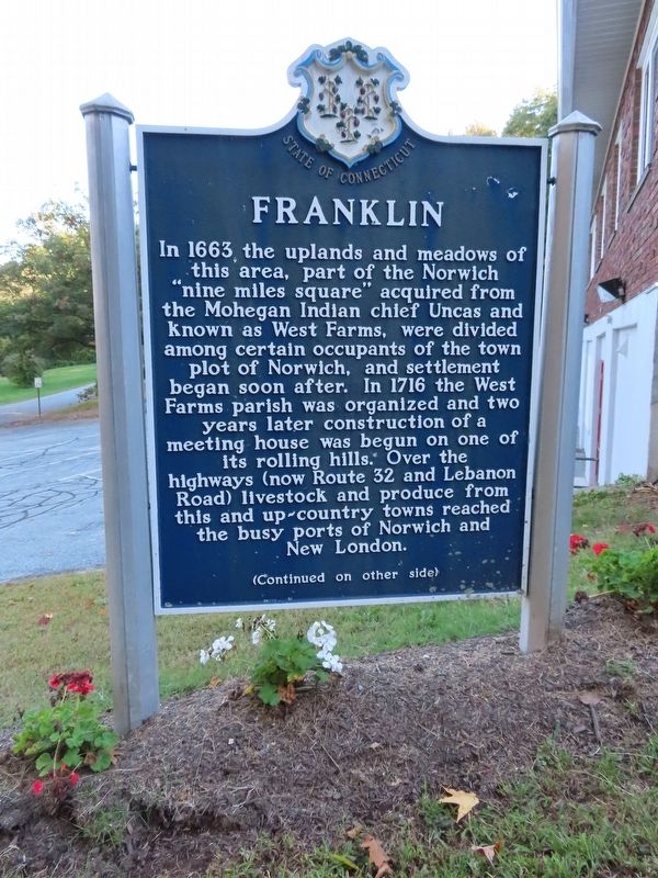
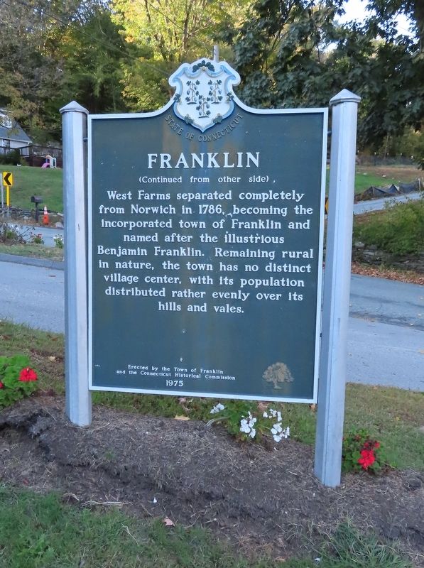
West Farms separated completely from Norwich in 1786, becoming the incorporated town of Franklin and named after the illustrious Benjamin Franklin. Remaining rural in nature, the town has no distinct village center, with its population distributed rather evenly over its hills and vales.
and the Connecticut Historical Commission
1975
Erected 1975.
Topics. This historical marker is listed in this topic list: Settlements & Settlers. A significant historical year for this entry is 1663.
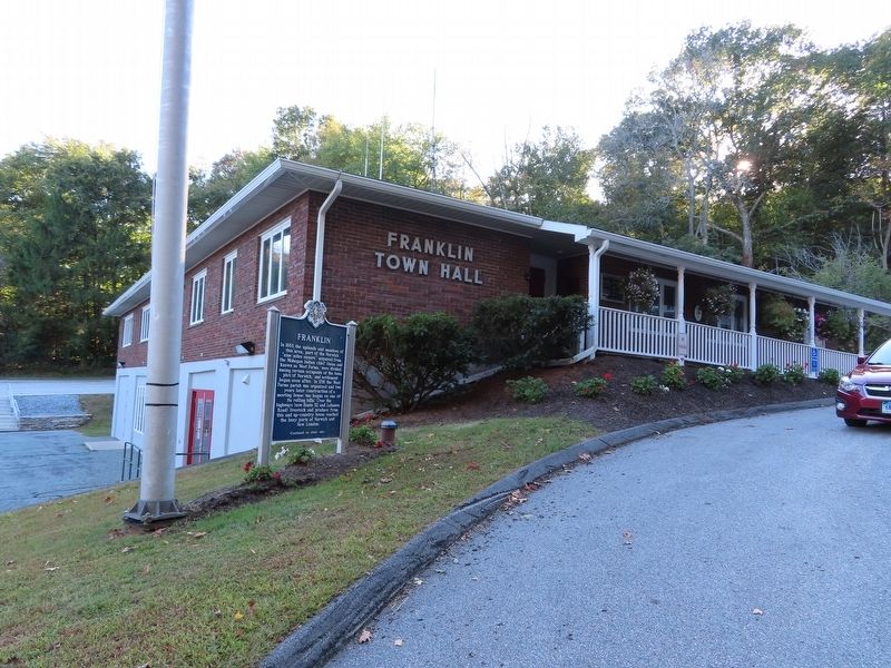
Location. 41° 36.688′ N, 72° 8.799′ W. Marker is in Franklin, Connecticut, in New London County. It is in North Franklin. Marker is at the intersection of Meeting House Hill Road and Bullard Road, on the right when traveling north on Meeting House Hill Road. Located in front of Franklin Town Hall. Touch for map. Marker is at or near this postal address: 7 Meeting House Hill Road, North Franklin CT 06254, United States of America. Touch for directions.
Other nearby markers. At least 8 other markers are within 4 miles of this marker, measured as the crow flies. Franklin World War II Monument (about 700 feet away, measured in a direct line); Sprague World War I Monument (approx. 3.2 miles away); Sprague Veterans Monument (approx. 3.2 miles away); Sprague World War II Monument (approx. 3.2 miles away); Sprague Vietnam War Monument (approx. 3.2 miles away); Sprague Civil War Monument (approx. 3.2 miles away); Sprague Korean War Monument (approx. 3.2 miles away); Sprague Veterans Memorial (approx. 3.2 miles away).
Also see . . .
1. Franklin, Connecticut. (Submitted on October 17, 2019, by Michael Herrick of Southbury, Connecticut.)
2. Franklin, Connecticut (Wikipedia). (Submitted on October 17, 2019, by Michael Herrick of Southbury, Connecticut.)
Credits. This page was last revised on February 10, 2023. It was originally submitted on October 17, 2019, by Michael Herrick of Southbury, Connecticut. This page has been viewed 204 times since then and 35 times this year. Photos: 1, 2, 3. submitted on October 17, 2019, by Michael Herrick of Southbury, Connecticut.


