Darnestown in Montgomery County, Maryland — The American Northeast (Mid-Atlantic)
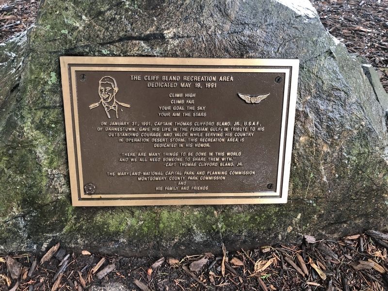
The Cliff Bland Recreation Area
Dedicated May 19, 1991

Photographed By Devry Becker Jones (CC0), October 20, 2019
1. The Cliff Bland Recreation Area Marker
Climb far
Your goal the sky
Your aim the stars
On January 31, 1991, Captain Thomas Clifford Bland, Jr., U.S.A.F. of Darnestown, gave his life in the Persian Gulf, in tribute to his outstanding courage and valor while serving his country in Operation Desert Storm. This recreation area is dedicated in his honor.
"There are many things to be done in this world and we will need someone to share them with."
—Capt. Thomas Clifford Bland, Jr.
Erected 1991 by The Maryland-National Capital Park and Planning Commission, Montgomery County Park Commission, and his family and friends.
Topics. This memorial is listed in these topic lists: Air & Space • War, 1st Iraq & Desert Storm.
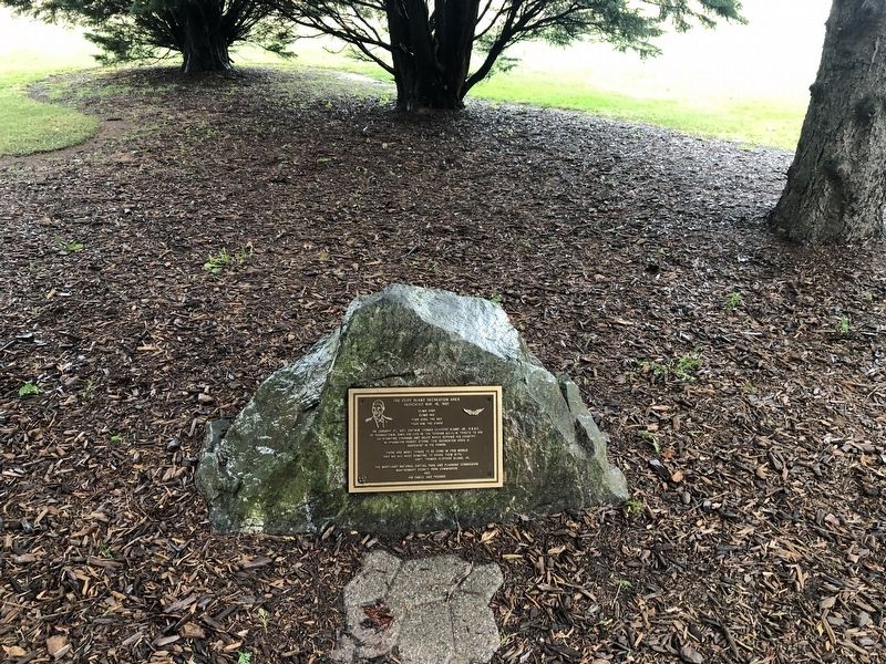
Location. 39° 6.415′ N, 77° 17.736′ W. Marker is in Darnestown, Maryland, in Montgomery County. Memorial can be reached from Darnestown Road (Maryland Route 28) 0.4 miles west of Seneca Road (Maryland Route 112), on the right when traveling west. Touch for map. Marker is at or near this postal address: 14211 Darnestown Road, Gaithersburg MD 20878, United States of America. Touch for directions.
Other nearby markers. At least 8 other markers are within walking distance of this marker. Darnestown (about 300 feet away, measured in a direct line); The Signal Corps and Wartime Communications (approx. 0.3 miles away); The Civil War in Darnestown (approx. 0.3 miles away); Civil War Troops & Darnestown Residents (approx. 0.3 miles away); Darnestown: A Strategic Point of Defense (approx. 0.3 miles away); Disease, Death, and Medical Discoveries During the Civil War (approx. 0.4 miles away); Clues to the Past: Oral History and Archaeology (approx. 0.4 miles away); A 19th Century Crossroads (approx. 0.4 miles away). Touch for a list and map of all markers in Darnestown.

Photographed By Devry Becker Jones (CC0), October 20, 2019
2. The Cliff Bland Recreation Area Marker
Credits. This page was last revised on May 12, 2020. It was originally submitted on October 20, 2019, by Devry Becker Jones of Washington, District of Columbia. This page has been viewed 309 times since then and 15 times this year. Photos: 1, 2. submitted on October 20, 2019, by Devry Becker Jones of Washington, District of Columbia.