El Call in Barcelona, Catalonia, Spain — Southwestern Europe (Iberian Peninsula)
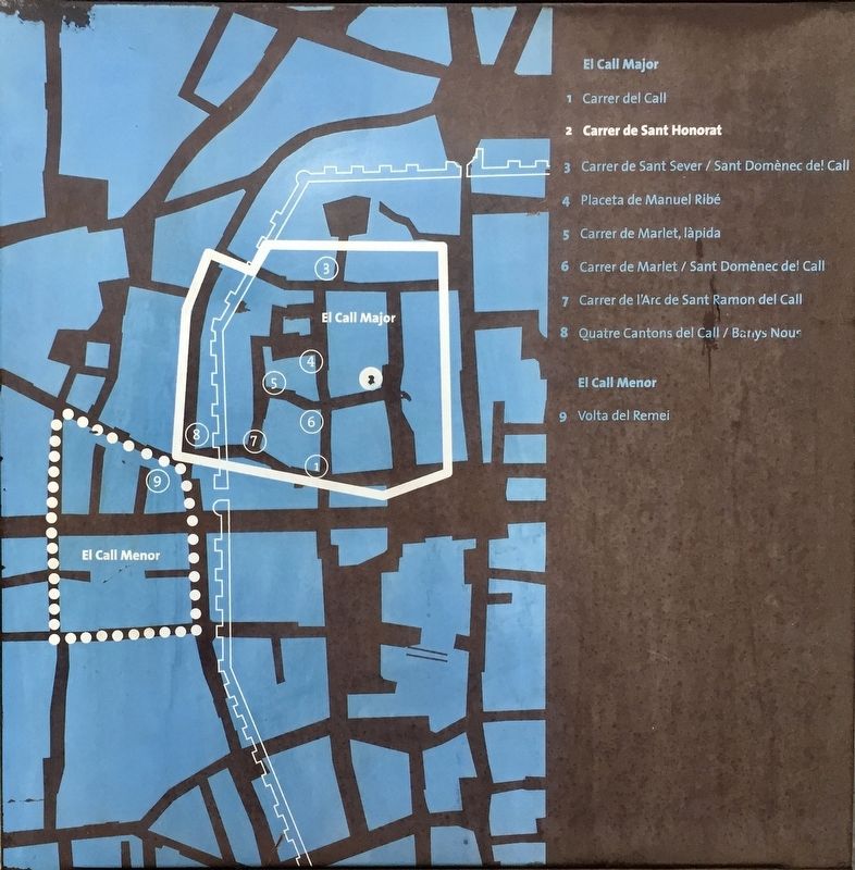
El Call: Carrer de Sant Honorat
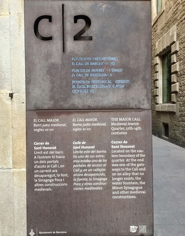
Medieval Jewish Quarter, 12th-14th centuries
(Catalan:)
Barri jueu medieval, segles XII-XIV
Carrer de Sant Honorat
Límit est del barri. A l'extrem hi havia un dels portals d'accés al Call i, en un carreró ara desaparegut, la font, la Sinagoga Poca altres construccions medievals.
(Spanish:)
Barrio judio medieval, siglos XII-XIV
Calle de Sant Honorat
Limite este del barrio. En uno de sus extremos estaba uno de los portales de acceso al Call y, en un callejón ahora desaparecido, la fuente, la Sinagoga Poca y otras construcciones medievales.
(English:)
Medieval Jewish Quarter, 12th-14th centuries
Carrer de Sant Honorat
Located on the eastern boundary of the quarter. At the end was one of the gateways to the Call and on an alley that no longer exists, the water fountain, the Minor Synagogue and other medieval constructions.
Erected by Ajuntament de Barcelona. (Marker Number C2.)
Topics. This historical marker is listed in these topic lists: Churches & Religion • Settlements & Settlers.
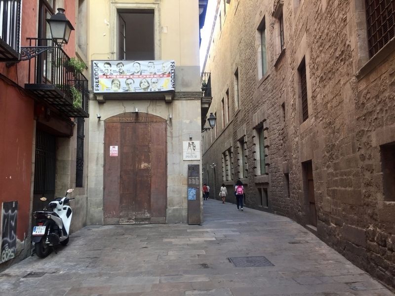
Location. 41° 22.979′ N, 2° 10.563′ E. Marker is in Barcelona, Cataluña (Catalonia). It is in El Call. Marker is on Carrer de Sant Honorat, on the left when traveling west. Touch for map. Marker is at or near this postal address: Carrer de Sant Honorat, 7, Barcelona, Cataluña 08002, Spain. Touch for directions.
Other nearby markers. At least 8 other markers are within walking distance of this marker. Collegi Sant Jordi / College of Sant Jordi (a few steps from this marker); El Call: Carrer de Sant Domènec (within shouting distance of this marker); El Call: Placeta de Manuel Ribé (within shouting distance of this marker); Memorial to the Victims of the Bombing of January 30, 1938 (within shouting distance of this marker); El Call: Carrer de Sant Sever (within shouting distance of this marker); El Call: Carrer de Call (within shouting distance of this marker); El Call: Rabbi Samuel Ha-Sardi Stone (within shouting distance of this marker); The Aerial Bombing of the Plaza / El Bombardeo de la Plaza / El Bombardeig de la Plaça (about 90 meters away, measured in a direct line). Touch for a list and map of all markers in Barcelona.
Also see . . . The Jewish Community of Barcelona (Beit Hatfutsot)
. (Submitted on October 23, 2019.)
Credits. This page was last revised on August 26, 2023. It was originally submitted on October 23, 2019, by Andrew Ruppenstein of Lamorinda, California. This page has been viewed 173 times since then and 10 times this year. Photos: 1, 2, 3. submitted on October 23, 2019, by Andrew Ruppenstein of Lamorinda, California.


