Tulare in Tulare County, California — The American West (Pacific Coastal)
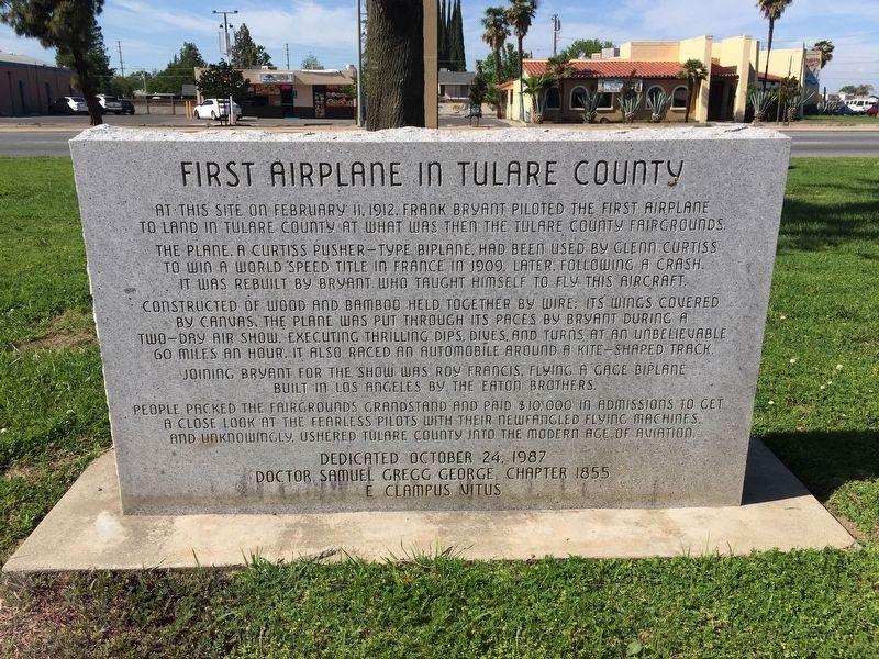
First Airplane in Tulare County
Inscription.
At this site on February 11, 1912, Frank Bryant piloted the first airplane to land in Tulare County at what was then the Tulare County Fairgrounds. The plane, a Curtiss pusher-type biplane, had been used by Glenn Curtiss to win a world speed title in France 1909. Later, following a crash, it was rebuilt by Bryant who taught himself to fly this aircraft constructed of wood and bamboo held together by wire; its wings covered by canvas the plane was put through its paces by Bryant during a two-day air show. Executing thrilling dips, dives, and turns at an unbelievable 60 miles an hour. It also raced an automobile around a kite-shaped track. Joining Bryant for the show was Roy Francis, flying a Gage biplane built in Los Angeles by the Eaton Brothers. People packed the fairgrounds grandstand and paid $10,000 in admissions to get a close look at the fearless pilots with their newfangled flying machines, and unknowingly, ushered Tulare County into the modern age of aviation.
Erected 1987 by Dr. Samuel Gregg George Chapter 1855 of E Clampus Vitus.
Topics and series. This historical marker is listed in this topic list: Air & Space. In addition, it is included in the E Clampus Vitus series list. A significant historical date for this entry is February 11, 1912.
Location. 36° 12.656′ N, 119° 19.22′ W. Marker is in Tulare, California, in Tulare County. Marker is on East Tulare Avenue, on the right when traveling east. Touch for map. Marker is at or near this postal address: 1771 East Tulare Avenue, Tulare CA 93274, United States of America. Touch for directions.
Other nearby markers. At least 8 other markers are within 6 miles of this marker, measured as the crow flies. Tulare Irrigation District (approx. 0.8 miles away); Tulare City, Main Southern Pacific Railroad Terminal, 1872-1892 (approx. 1˝ miles away); Tuggleville (approx. 1.6 miles away); End of the Trail (approx. 4.7 miles away); World’s First Self-Propelled Combine (approx. 4.7 miles away); Hugh Michael Mooney (1864-1934) (approx. 4.8 miles away); Mooney Grove Park Boy Scout Cabin (approx. 4.8 miles away); Rankin Aeronautical Academy (approx. 5.4 miles away). Touch for a list and map of all markers in Tulare.
Credits. This page was last revised on November 23, 2019. It was originally submitted on October 26, 2019, by Frank Gunshow Sanchez of Hollister, California. This page has been viewed 182 times since then and 13 times this year. Photo 1. submitted on October 26, 2019, by Frank Gunshow Sanchez of Hollister, California. • J. Makali Bruton was the editor who published this page.
Editor’s want-list for this marker. Wide area view of the marker and its surroundings. • Can you help?
