Near Matthews in Grant County, Indiana — The American Midwest (Great Lakes)
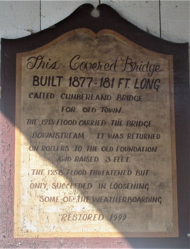
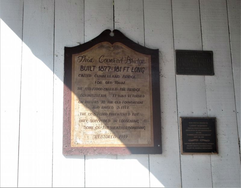
This Covered Bridge
built 1877 – 181 ft. long
called Cumberland Bridge
for Old Town.
The 1913 flood carried the bridge
downstream. It was returned
on rollers to the old foundation
and raised 3 feet.
The 1958 flood threatened but
only, succeeded in loosening
some of the weatherboarding
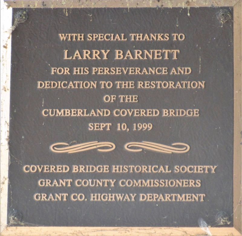
Restored 1999
Erected 1999 by Covered Bridge Historical Society, Grant County Commissioners Grant County Highway Department.
Topics and series. This historical marker is listed in this topic list: Bridges & Viaducts. In addition, it is included in the Covered Bridges series list. A significant historical year for this entry is 1877.
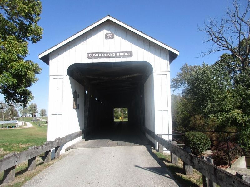
Location. 40° 23.302′ N, 85° 29.104′ W. Marker is near Matthews, Indiana, in Grant County. Marker is at the intersection of North 3rd Street (County Road 1000E) and Front Street, on the left when traveling north on North 3rd Street. Marker is on the Cumberland Bridge, over the Mississinewa River. Touch for map. Marker is at or near this postal address: 400 North 3rd Street, Upland IN 46989, United States of America. Touch for directions.
Other nearby markers. At least 8 other markers are within 5 miles of this marker, measured as the crow flies. The New Cumberland Gristmill 1853-1920 (a few steps from this marker); Cumberland Covered Bridge (a few steps from this marker); Matthews Veterans Memorial (about 800 feet away, measured in a direct line); Lt. Col. Thomas W. (Bill) Boles (about 800 feet away); Covered Bridge (approx. 0.2 miles away); Elizabethtown (approx. 1.8 miles away); The Village of Trask (approx. 3.1 miles away); In Memory Of William J. Leach (approx. 4.7 miles away). Touch for a list and map of all markers in Matthews.
Credits. This page was last revised on February 5, 2023. It was originally submitted on October 28, 2019, by Rev. Ronald Irick of West Liberty, Ohio. This page has been viewed 168 times since then and 14 times this year. Last updated on January 29, 2023, by Craig Doda of Napoleon, Ohio. Photos: 1, 2, 3, 4, 5. submitted on October 28, 2019, by Rev. Ronald Irick of West Liberty, Ohio. • J. Makali Bruton was the editor who published this page.
