Near Craig in Lewis and Clark County, Montana — The American West (Mountains)
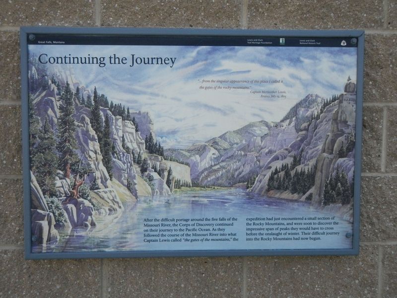
Continuing the Journey
After the difficult portage around the five falls of the Missouri River, the Corps of Discovery continue on their journey to the Pacific Ocean. As they followed the course of the Missouri River into what Captain Lewis called the gates of the mountains," the expedition had just encountered a small section of the Rocky Mountains, and were soon to discover the impressive span of peaks they would have to cross before the onslaught of winter. Their difficult journey into the Rocky Mountains had now begun.
Erected by Lewis and Clark Trail Heritage Foundation, Lewis and Clark National Historic Trail.
Topics and series. This historical marker is listed in this topic list: Exploration. In addition, it is included in the Lewis & Clark Expedition series list. A significant historical date for this entry is July 19, 1805.
Location. 47° 7.848′ N, 111° 54.084′ W. Marker is near Craig, Montana, in Lewis and Clark County. Marker is on Interstate 15 at milepost 240 near Bald Eagle Drive, on the right when traveling north. Touch for map. Marker is in this post office area: Wolf Creek MT 59648, United States of America. Touch for directions.
Other nearby markers. At least 8 other markers are within 5 miles of this marker, measured as the crow flies. Dearborn's River (here, next to this marker); Michael John MacKinnon (here, next to this marker); "Cliffs High and Steep" (within shouting distance of this marker); "nearer than the route we Came" (about 600 feet away, measured in a direct line); Bighorned Animals (about 600 feet away); Join the Voyage of Discovery (about 600 feet away); The Dearborn – Ancient Interstate Highway (approx. 0.4 miles away); July 17, 1805 & July 17, 1806 (approx. 4˝ miles away). Touch for a list and map of all markers in Craig.
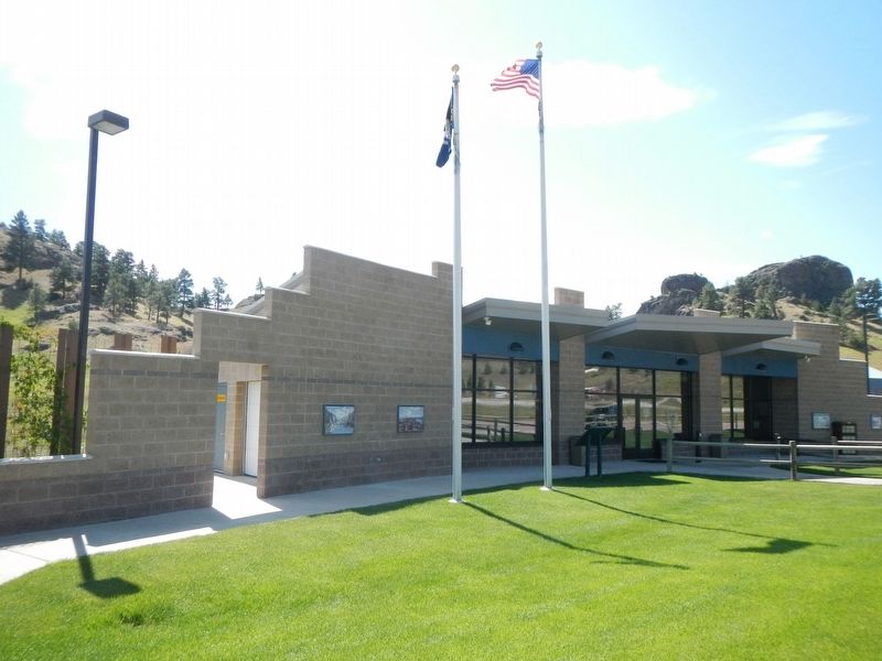
More about this marker. This marker is located at the Northbound Dearborn Rest Area on Interstate 15.
Credits. This page was last revised on October 29, 2019. It was originally submitted on October 29, 2019, by Barry Swackhamer of Brentwood, California. This page has been viewed 167 times since then and 17 times this year. Photos: 1, 2. submitted on October 29, 2019, by Barry Swackhamer of Brentwood, California.

