Near Eatonton in Putnam County, Georgia — The American South (South Atlantic)
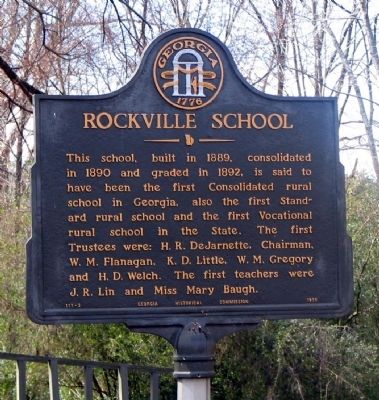
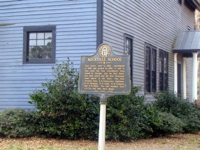
Rockville School
Erected 1955 by Georgia Historical Commission. (Marker Number 117-3.)
Topics and series. This historical marker is listed in this topic list: Education. In addition, it is included in the Georgia Historical Society series list. A significant historical year for this entry is 1889.
Location. 33° 19.571′ N, 83° 13.135′ W. Marker is near Eatonton, Georgia, in Putnam County. Marker is on Rockville Road SE, 0 miles south of Rockville Lane, on the right when traveling south. School and Marker are in the community of Rockville, Georgia, south of Georgia Highway 16. Touch for map. Marker is in this post office area: Eatonton GA 31024, United States of America. Touch for directions.
Other nearby markers. At least 8 other markers are within 8 miles of this marker, measured as the crow flies. Mrs. Beall's Mill (approx. 3.2 miles away); Philadelphia United Methodist Church (approx. 3.9 miles away); Site of First Log Courthouse (approx. 4 miles away); Hillsborough (approx. 4 miles away); Turnwold Plantation (approx. 5 miles away); Concord Methodist Church (approx. 5.9 miles away); Famous Indian Trail (approx. 7 miles away); Shoulder-bone Creek Treaty (approx. 8.1 miles away). Touch for a list and map of all markers in Eatonton.
Credits. This page was last revised on June 16, 2016. It was originally submitted on December 7, 2008, by David Seibert of Sandy Springs, Georgia. This page has been viewed 1,337 times since then and 51 times this year. Photos: 1, 2. submitted on December 7, 2008, by David Seibert of Sandy Springs, Georgia. • Bill Pfingsten was the editor who published this page.

