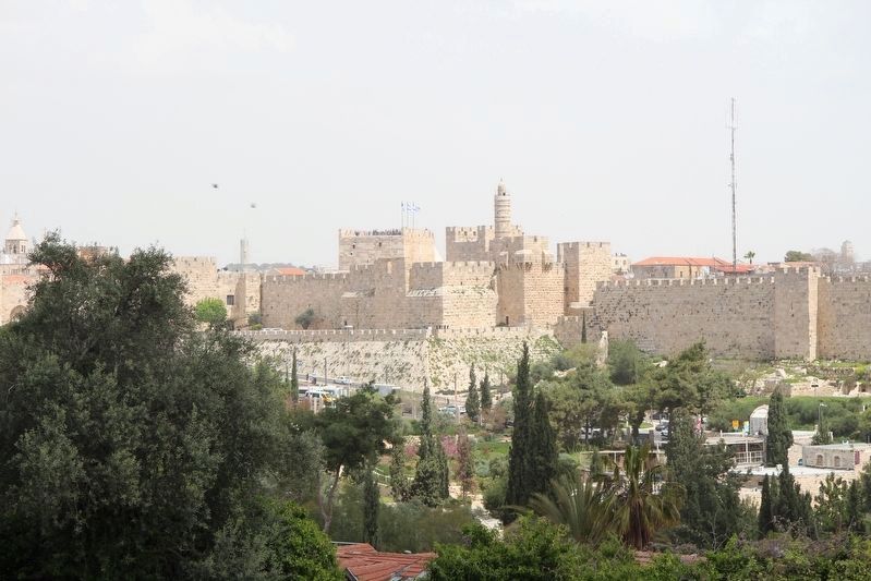
Jerusalem, Jerusalem District, Israel — The Middle East (West Asia)
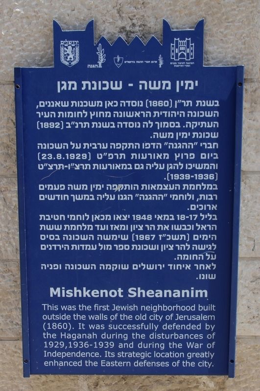
Mishkenot Sheananim
This was the first Jewish neighborhood built outside the walls of the old city of Jerusalem (1860). It was successfully defended by the Haganah during the disturbances of 1929, 1936-1939 and during the War of Independence. Its strategic location greatly enhanced the Eastern defenses of the city.
Topics. This historical marker is listed in this topic list: Settlements & Settlers. A significant historical year for this entry is 1929.
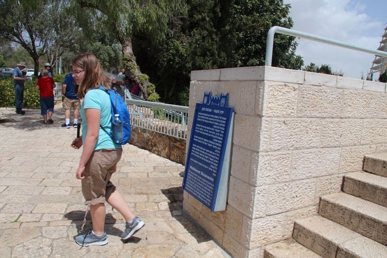
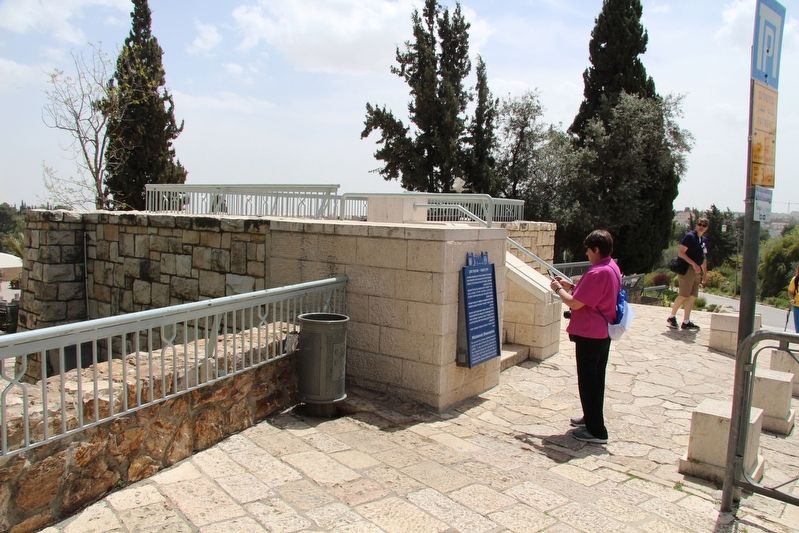
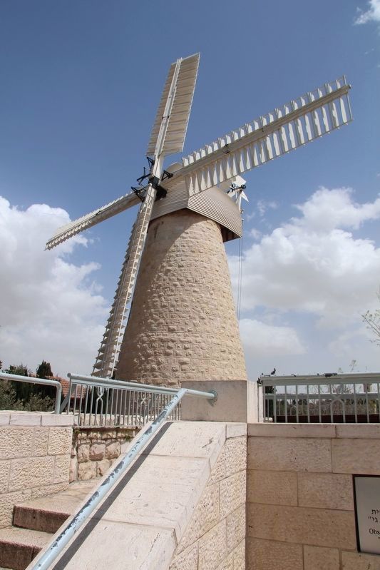
Location. 31° 46.29′ N, 35° 13.446′ E. Marker is in Jerusalem, Jerusalem District. Marker is at the intersection of Heinrich Heine Street and Sderot Blumfield, on the right when traveling north on Heinrich Heine Street. This marker is located in a municipal park, affixed to a cut stone wall, just west of a windmill. Touch for map. Touch for directions.
Other nearby markers. At least 8 other markers are within walking distance of this marker. Tombs from the First Temple Period (approx. 0.3 kilometers away); The Mount Zion Trench (approx. 0.3 kilometers away); The Priestly Blessing (approx. 0.3 kilometers away); Ketef Hinnom (approx. 0.3 kilometers away); Cave 24 (approx. 0.3 kilometers away); A "Guard Tower" (the Middle Ages) (approx. 0.4 kilometers away in Israel); The City Wall in the Second Temple Period (approx. 0.4 kilometers away in Israel); The "Hidden" Gate (approx. 0.4 kilometers away in Israel). Touch for a list and map of all markers in Jerusalem.
Credits. This page was last revised on October 31, 2019. It was originally submitted on October 31, 2019, by Dale K. Benington of Toledo, Ohio. This page has been viewed 109 times since then and 5 times this year. Photos: 1, 2, 3, 4, 5. submitted on October 31, 2019, by Dale K. Benington of Toledo, Ohio.
