Prominent Land Cases
Oklahoma City 1890- Early 1900s
| — | The ‘89er Trail | — |
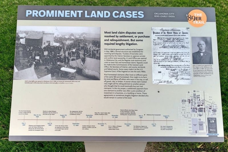
Most land claim disputes were resolved by settlement, or purchase and relinquishment. But some required lengthy litigation.
With territorial government authorized by Congress in May, 1890, a formal structure was established for resolving land disputes. Trustees of townsites were appointed by the Interior Secretary to approve surveys and confirm land ownership. A Land Office was opened in Oklahoma City, and the Register took testimony and ruled on town lots and homestead claims. Appeals could be made to the Commissioner of the General Land Office, the Secretary of Interior, and county, territorial, and federal courts. Some cases made it to the U.S. Supreme Court. A few lingered on into the early 1900s.
Rival homestead claimants often lived on different parts of the same 160 acre homestead. One might try to farm the land and fence off others who were in the way, or sell off gravel, clay, or timber. A sooner whose claim looked risky might sell his relinquishment to another person who thought that he could eventually buy out rival claimants. In the city proper, a settlement payment from one claimant to another was often
this page online
Photo captions:
Left: Until a land office was opened in Oklahoma City in 1890, all claims for homesteads (160 acres) and townsites (up to 320 acres) had to be filed at this land office in Guthrie.
Library of Congress
Right: John H. Burford was appointed the first Register of the Oklahoma City Land Office in 1890. Two years later he was appointed to the Oklahoma Territorial Supreme Court, where he served for 15 years, 10 of them as its Chief Justice. Research Division of the Oklahoma Historical Society
Erected 2018 by Oklahoma City Community Foundation, Wiggin Properties. (Marker Number 19.)
Topics and series. This historical marker is listed in these topic lists: Government & Politics • Settlements & Settlers. In addition, it is included in the The '89er Trail series list. A significant historical month for this entry is May 1890.
Location. 35° 28.155′ N, 97° 31.209′ W. Marker is in Oklahoma City, Oklahoma, in Oklahoma County. It is in Central Oklahoma City.
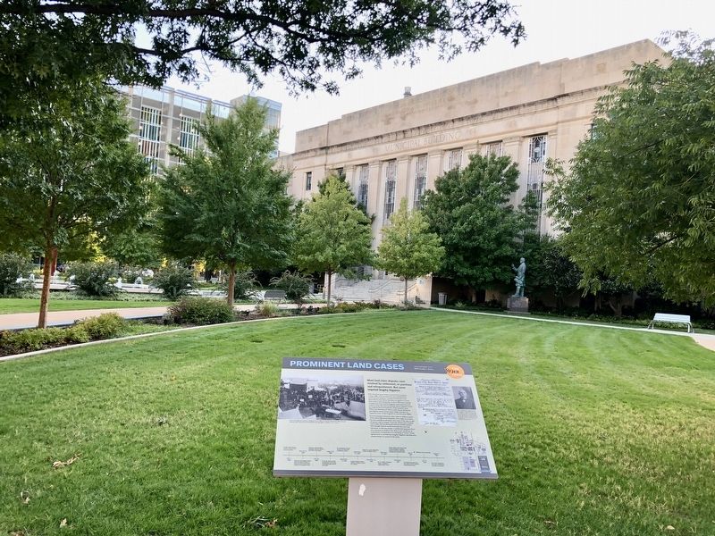

Regionally, this marker is in Central Oklahoma—Frontier Country. It is also in the American South, specifically on the prairies, and on the Southern Plains. Globally, it is in North America, the Western Hemisphere, the Western World, and the Anglosphere. Historically, it finds itself in what was once the territory of the Mississippian Culture and also the Louisiana Purchase.
Other nearby markers. At least 8 other markers are within walking distance of this marker: The New Framework of Government (a few steps from this marker); The Oklahoma Territory Organic Act (within shouting distance of this marker); Beale Defeats Overholser For Mayor (within shouting distance of this marker); Hightower Building (about 400 feet away, measured in a direct line); 420 W. Main Street (about 600 feet away); Jim Couch (about 600 feet away); The Harbour-Longmire Building (about 600 feet away); Cotton Exchange Building (about 700 feet away). Touch for a list and map of all markers in Oklahoma City.
Credits. This page was last revised on February 16, 2023. It was originally submitted on November 1, 2019, by Mark Hilton of Montgomery, Alabama. This page has been viewed 238 times since then and 17 times this year. Photos: 1, 2. submitted on November 1, 2019, by Mark Hilton of Montgomery, Alabama.
