Fort Benton in Chouteau County, Montana — The American West (Mountains)
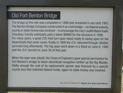
Old Fort Benton Bridge
When the span was rebuilt, the Corps of Engineers gave special permission for Fort Benton's bridge to block steamboat navigation further up the Big Muddy. Oddly enough the cost of its replacement upriver was financed by a special county levy that matched federal funds; again no state money was involved.
Erected by Fort Benton Community Improvement Association.
Topics. This historical marker is listed in these topic lists: Bridges & Viaducts • Disasters. A significant historical date for this entry is June 6, 1908.
Location. 47° 49.059′ N, 110° 40.031′ W. Marker is in Fort Benton, Montana, in Chouteau County. Marker is on Front Street near 15th Street, on the right when traveling east. Touch for map. Marker is in this post office area: Fort Benton MT 59442, United States of America. Touch for directions.
Other nearby markers. At least 8 other markers are within walking distance of this marker. Open Range Cattle (a few steps from this marker); Cummings Building (a few steps from this marker); Fire! Fire! (a few steps from this marker); Pacific Hotel (a few steps from this marker); Fort Benton Bridge (a few steps from this marker); Culbertson House (a few steps from this marker); "George Montgomery: Rider of the Purple Sage" (a few steps from this marker); June 6, 1908 (within shouting distance of this marker). Touch for a list and map of all markers in Fort Benton.
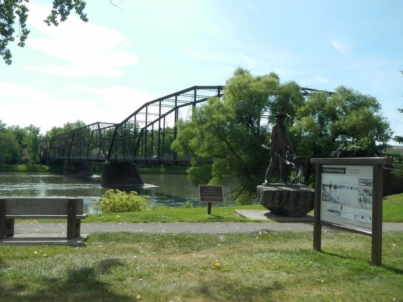
More about this marker. This marker is located in Fort Benton's riverside park.

Photographed By Barry Swackhamer, August 14, 2019
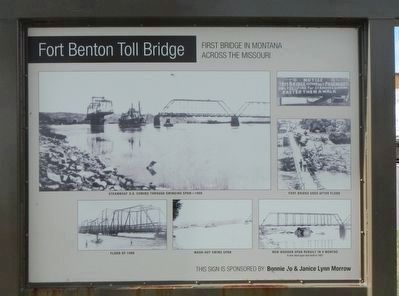
2. Fort Benton Toll Bridge Marker
First Bridge in Montana across the Missouri
Captions: (upper left) Steamboat O.K. coming through swing span–1908; (top right) Foot bridge used after flood; (bottom left) Flood of 1908; (bottom center) Wash-out swing span; (bottom right) New wooden span rebuilt in 9 months.
Captions: (upper left) Steamboat O.K. coming through swing span–1908; (top right) Foot bridge used after flood; (bottom left) Flood of 1908; (bottom center) Wash-out swing span; (bottom right) New wooden span rebuilt in 9 months.
Credits. This page was last revised on November 8, 2019. It was originally submitted on November 8, 2019, by Barry Swackhamer of Brentwood, California. This page has been viewed 185 times since then and 21 times this year. Photos: 1, 2, 3, 4. submitted on November 8, 2019, by Barry Swackhamer of Brentwood, California.


