Center Point in Doddridge County, West Virginia — The American South (Appalachia)
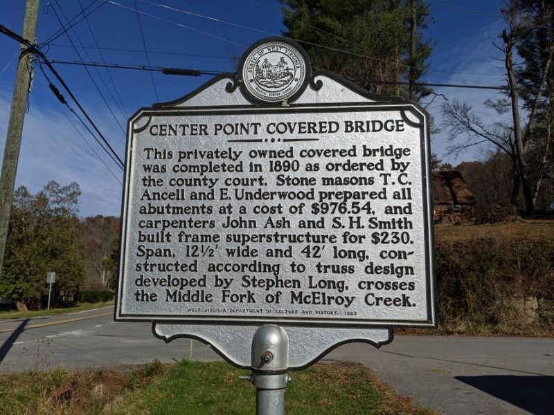
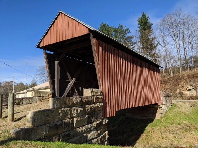
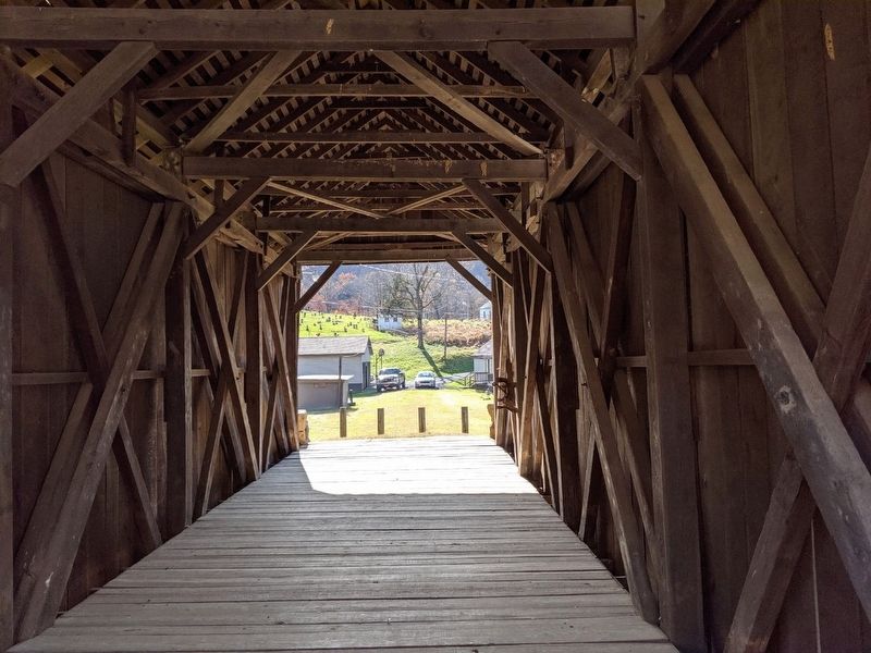
Center Point Covered Bridge
Erected 1983 by West Virginia Department of Culture and History.
Topics and series. This historical marker is listed in this topic list: Bridges & Viaducts. In addition, it is included in the Covered Bridges, and the West Virginia Archives and History series lists. A significant historical year for this entry is 1890.
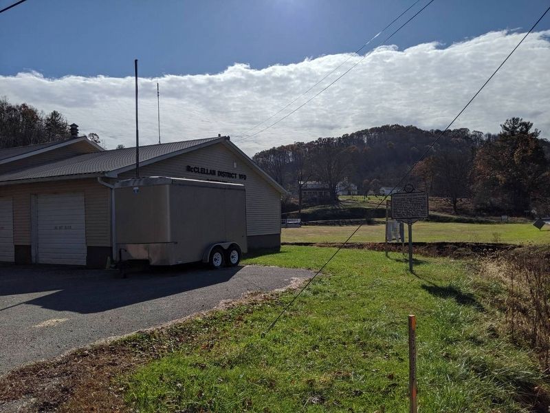
Location. 39° 23.376′ N, 80° 38.085′ W. Marker is in Center Point, West Virginia, in Doddridge County. Marker can be reached from the intersection of West Virginia Route 23 and Pike Fork (Local Route 10), on the right when traveling south. Marker is located on west side of Fire Department and bridge is on east side of Fire Department. Touch for map. Marker is in this post office area: Center Point WV 26339, United States of America. Touch for directions.
Other nearby markers. At least 8 other markers are within 10 miles of this marker, measured as the crow flies. Industrial Home for Girls (approx. 8.1 miles away); Salem Fork Pilot Watershed (approx. 8.3 miles away); Melvin Mayfield (approx. 8.3 miles away); Salem (approx. 8.3 miles away); Salem at the Turn of the Century (approx. 8.4 miles away); Salem Depot (approx. 8˝ miles away); Skirmish at West Union / West Union (approx. 9.8 miles away); Lathrop Russell Charter House (approx. 9.9 miles away).
Also see . . . Center Point Covered Bridge. (Submitted on November 9, 2019, by Mike Wintermantel of Pittsburgh, Pennsylvania.)
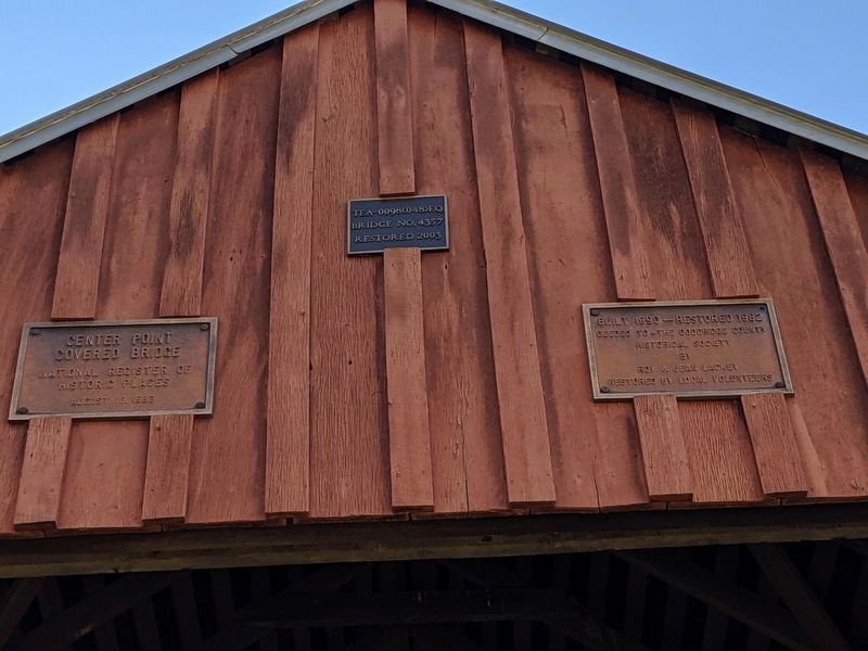
Photographed By Mike Wintermantel
4. Center Point Covered Bridge Plaques
Left Plaque
Center Point Covered Bridge
National Register of Historic Places
August 18, 1983
Center Plaque
TEA-0098(048)EQ
Bridge NO. 4357
Restored 2003
Right Plaque
Built 1890 - Restored 1982
Deeded To - The Doddridge County Historical Society
By Roy & Jean Lackey
Restored by local volunteers
Center Point Covered Bridge
National Register of Historic Places
August 18, 1983
Center Plaque
TEA-0098(048)EQ
Bridge NO. 4357
Restored 2003
Right Plaque
Built 1890 - Restored 1982
Deeded To - The Doddridge County Historical Society
By Roy & Jean Lackey
Restored by local volunteers
Credits. This page was last revised on November 9, 2019. It was originally submitted on November 9, 2019, by Mike Wintermantel of Pittsburgh, Pennsylvania. This page has been viewed 234 times since then and 22 times this year. Photos: 1, 2, 3, 4, 5. submitted on November 9, 2019, by Mike Wintermantel of Pittsburgh, Pennsylvania.
