Pennsboro in Ritchie County, West Virginia — The American South (Appalachia)
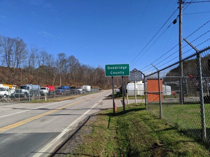
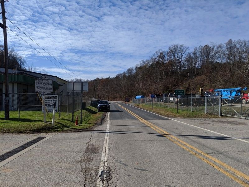
Doddridge County / Ritchie County
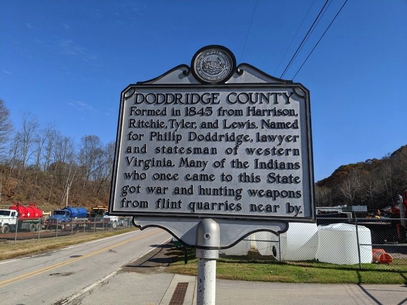
Doddridge County
Formed in 1845 from Harrison, Ritchie, Tyler and Lewis. Named for Philip Doddridge, lawyer and statesman of western Virginia. Many of the Indians who once came to this State got war and hunting weapons from flint quarries near by.
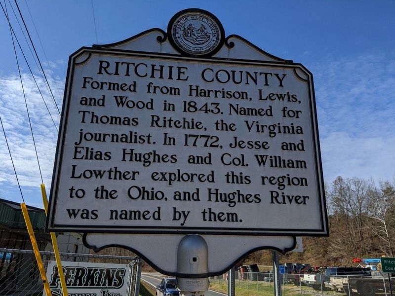
Ritchie County
Formed from Harrison, Lewis, and Wood in 1843. Named for Thomas Ritchie, the Virginia journalist. In 1772, Jess and Elias Hughes and Col. William Lowther explored this region to the Ohio, and Hughes River was named by them.
Topics and series. This historical marker is listed in this topic list: Notable Places. In addition, it is included in the West Virginia Archives and History series list. A significant historical year for this entry is 1845.
Location. 39° 16.639′ N, 80° 54.56′ W. Marker is in Pennsboro, West Virginia, in Ritchie County. Marker is on Northwest Turnpike, 0.1 miles east of Sugar Run Road, on the right when traveling east. Touch for map. Marker is in this post office area: Pennsboro WV 26415, United States of America. Touch for directions.
Other nearby markers. At least 8 other markers are within 8 miles of this marker, measured as the crow flies. Harrisville (approx. 3.2 miles away); Pennsboro B&O Depot (approx. 3.2 miles away); Pennsboro (approx. 3.3 miles away); The Stone House (approx. 3.4 miles away); Ephraim Bee (approx. 4.3 miles away); Central Station Bridge (approx. 4.9 miles away); Doddridge County Veterans Memorial (approx. 7.3 miles away); Lathrop Russell Charter House (approx. 7.4 miles away). Touch for a list and map of all markers in Pennsboro.
Credits. This page was last revised on June 9, 2020. It was originally submitted on November 9, 2019, by Mike Wintermantel of Pittsburgh, Pennsylvania. This page has been viewed 170 times since then and 18 times this year. Photos: 1, 2, 3, 4. submitted on November 9, 2019, by Mike Wintermantel of Pittsburgh, Pennsylvania.


